First day, first port of our Australia/NZ cruise. We arrive as scheduled, anchoring just outside the harbor. The funny thing about it though is they are calling the tenders – “water shuttles”! Really? We’ve never heard that before, but as we will continually be reminded, there are a lot of first time cruisers on these cruises. A lot!
Because we are Elite status (and Suite too I think), we get priority tender tickets, which means we don’t have to stand in line to get a ticket. We are escorted right out to the first tender and off we go. Perfect. We’ve rented a car so that we can explore the island today. It’s a small little place – about 100 miles long and 25 miles wide – and most of it farmland or nature preserve. The rental car office is right at the pier when we disembark the “water shuttle,” making it easy to pick up and return. The rental agent is a doll, laughing about people who are calling last minute to try to rent a vehicle. There are only about 50 “hire cars” (as she puts it) on the entire island – making pre-planning a must. As she says “People, you need to be more organized than this!” Of course Ed booked this car about a year ago – which is why she’s happy to tell us all this. Think we were the longest standing booking she’s had! As she’s telling us this, the phone rings again, she looks at it, then just shakes her head and doesn’t even bother answering. Too funny! She hands us a map, making sure we understand to stay on the main roads. The little roads in grey on the map are unpaved, and while they may appear as a short cut – they aren’t! She explains we have to slow way down to drive on them and it will takes us more time than going the less direct main road way. She is very impressed that we plan to Flinder’s Chase first and not dilly-dally around the interior part of the island. That’s always our plan, go the farthest out, then circle back, which we guess isn’t the norm? Well, we aren’t exactly the “norm” either, so what do we know?
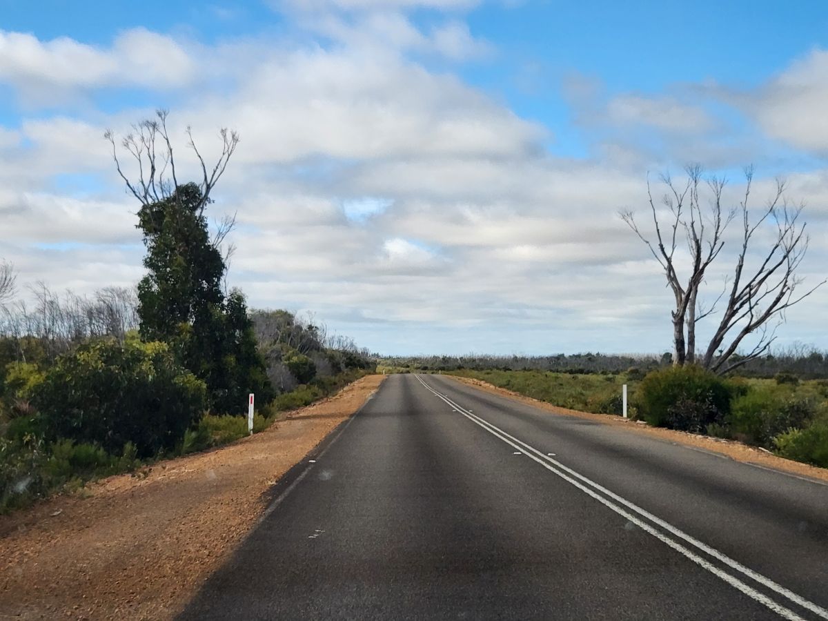
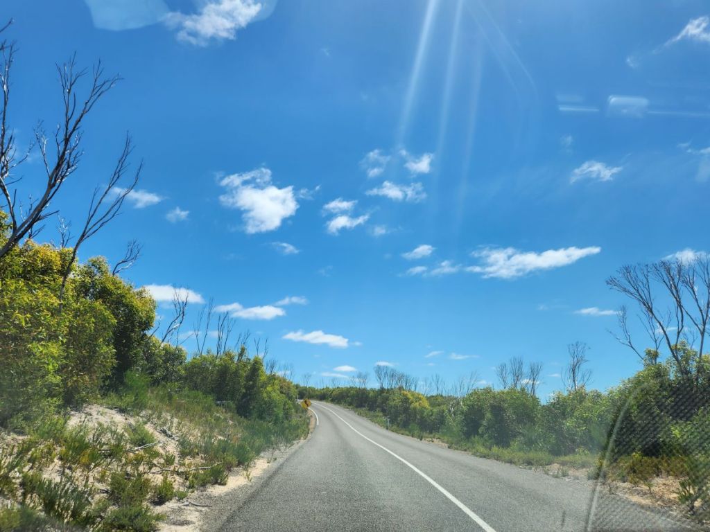
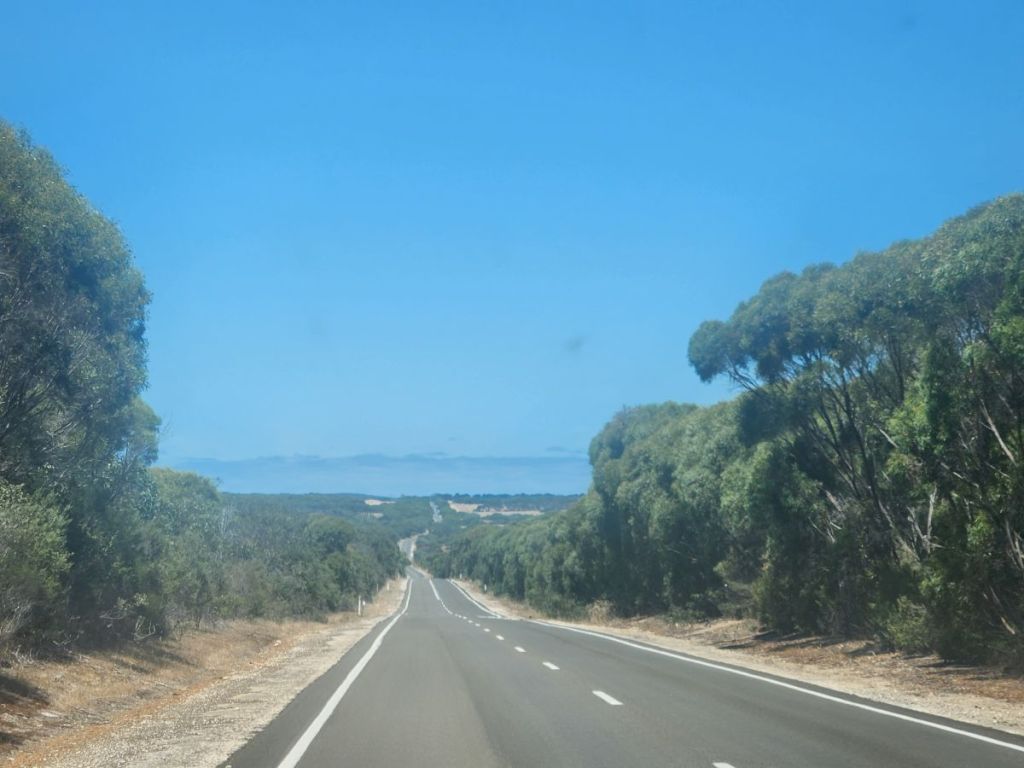
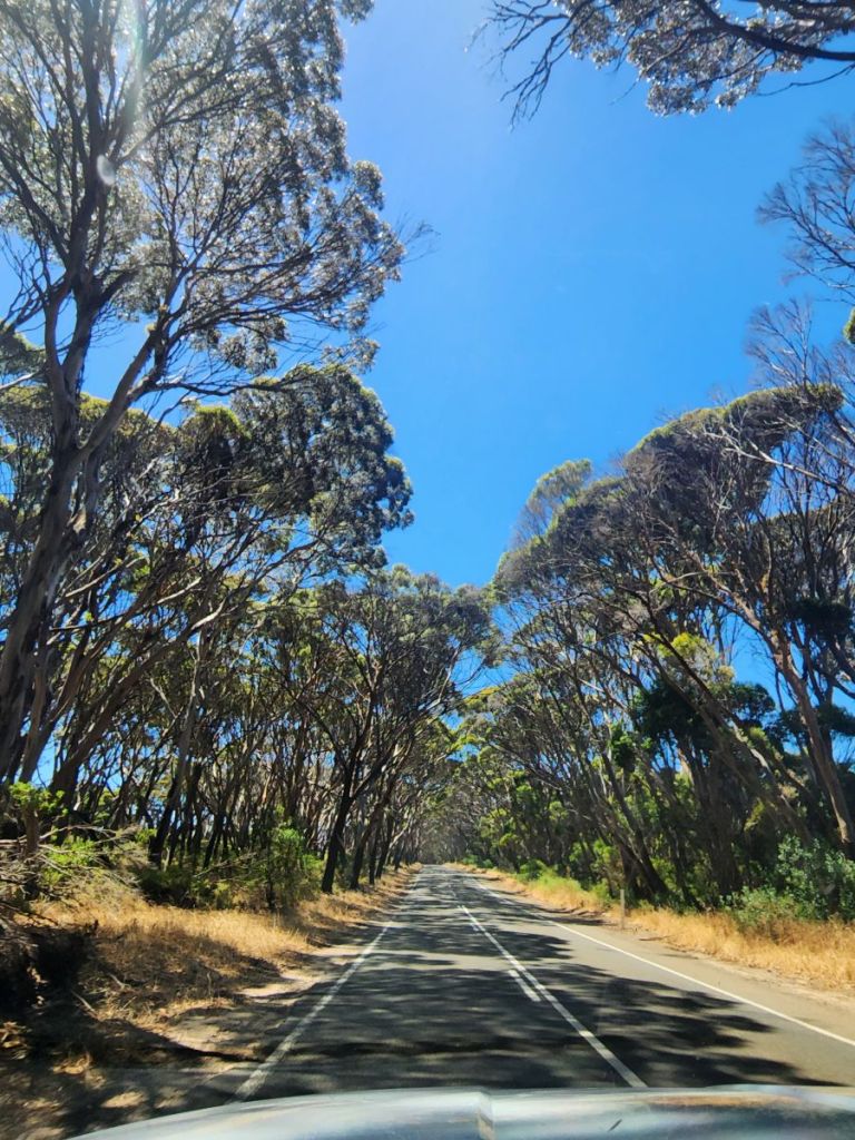
At any rate, car is signed out and inspected, and we are off into the wilds of Kangaroo Island. And wilds it is! Holy cow, even the paved roads are narrow little things that wind through the countryside. It is gorgeous here and we enjoy the solitude as we drive the whole length of the island, to the opposite end where Flinders Chase National Park is located.
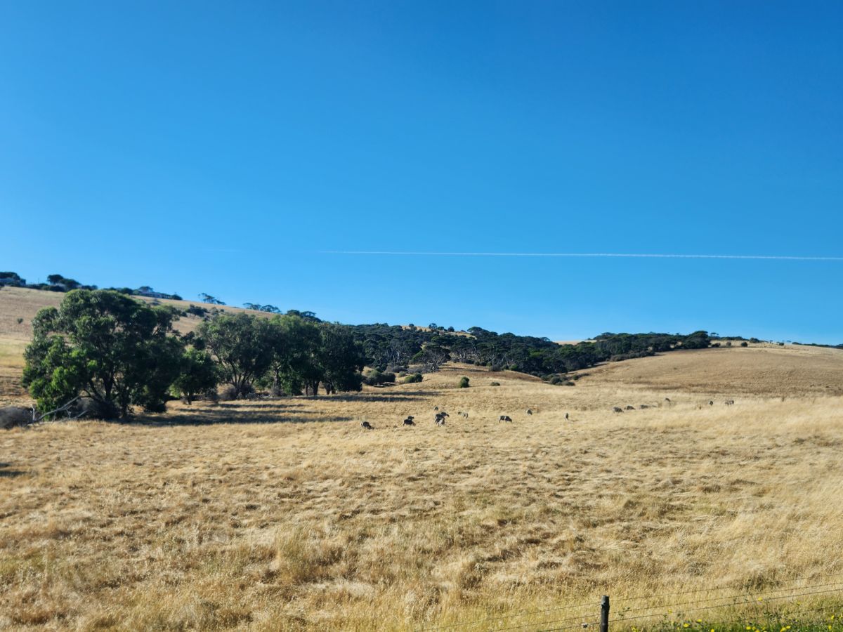
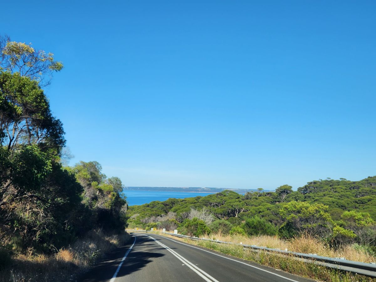
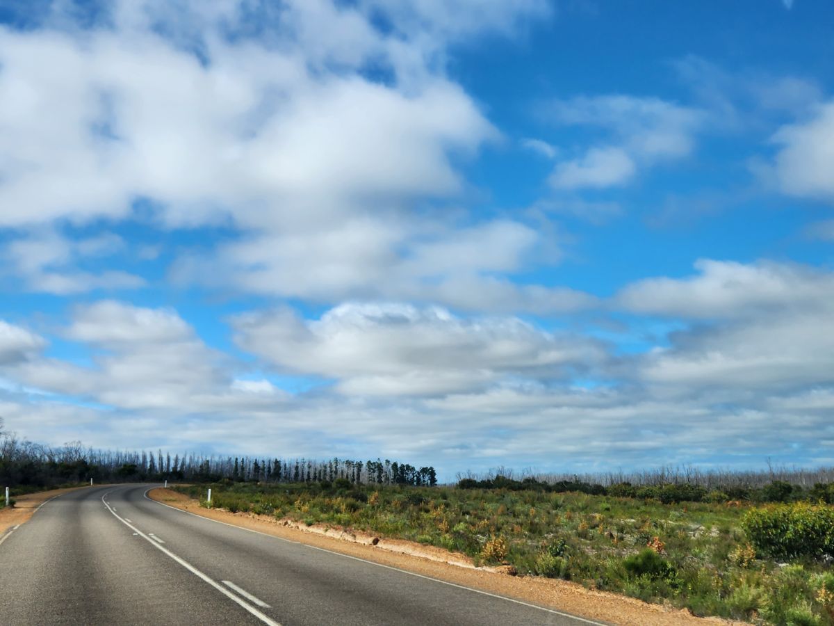
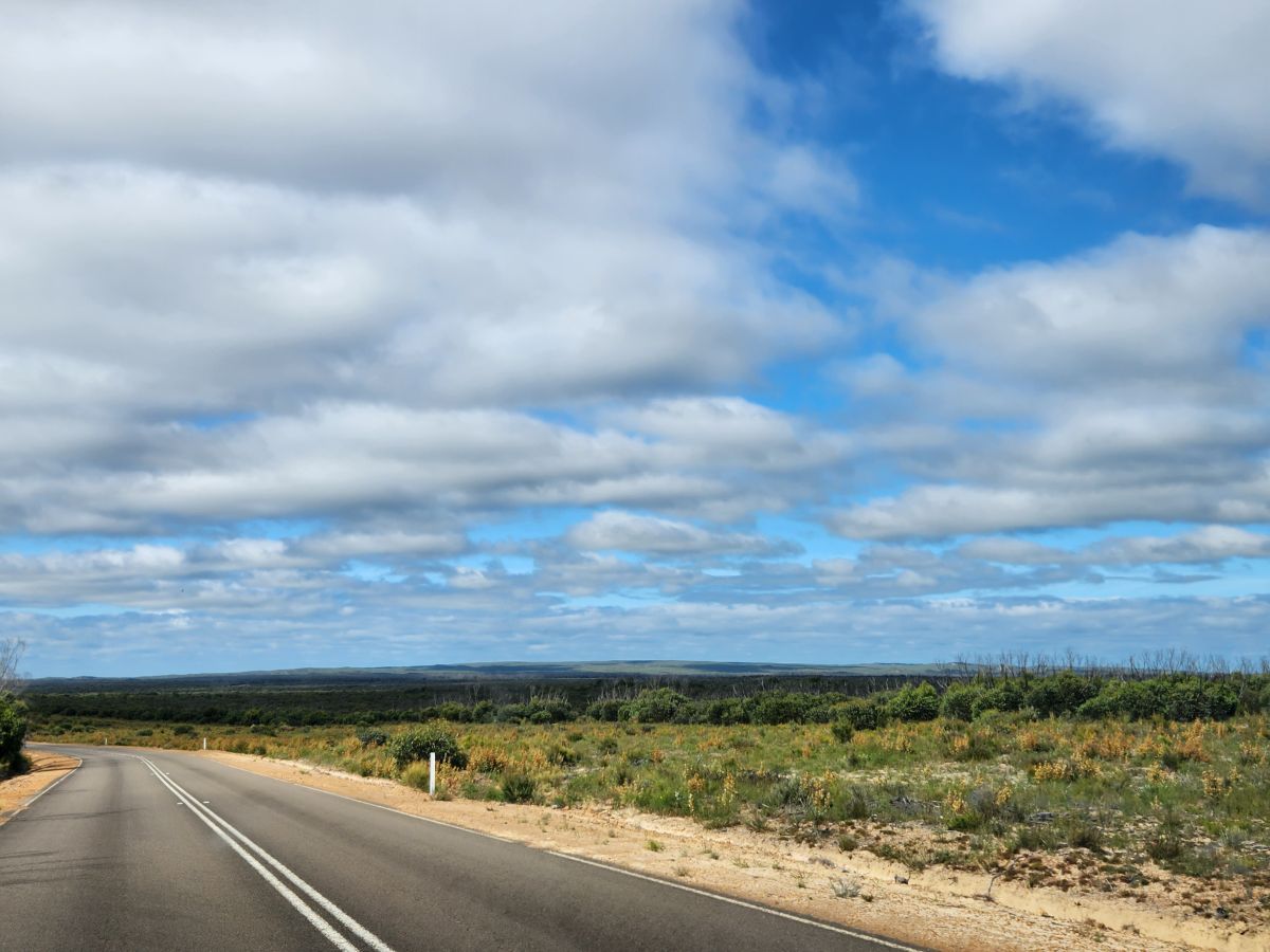
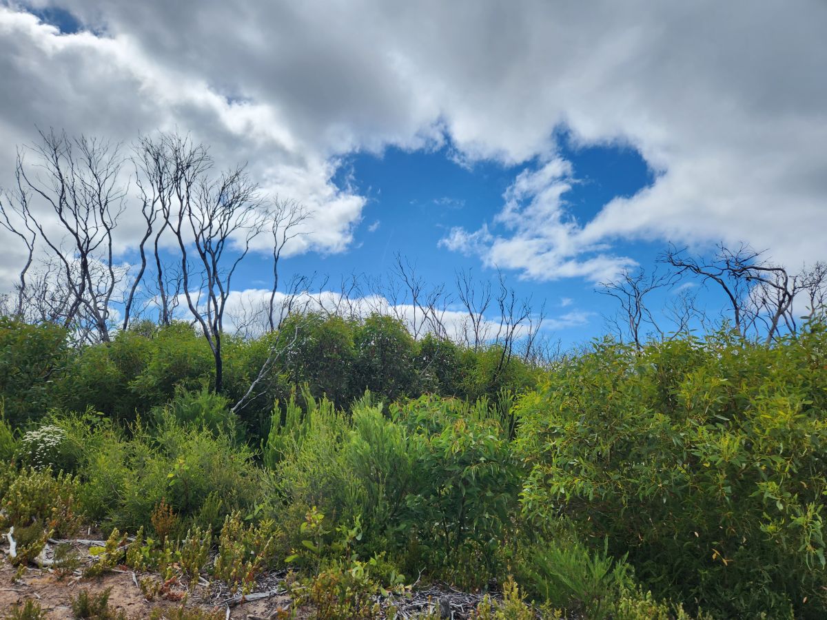
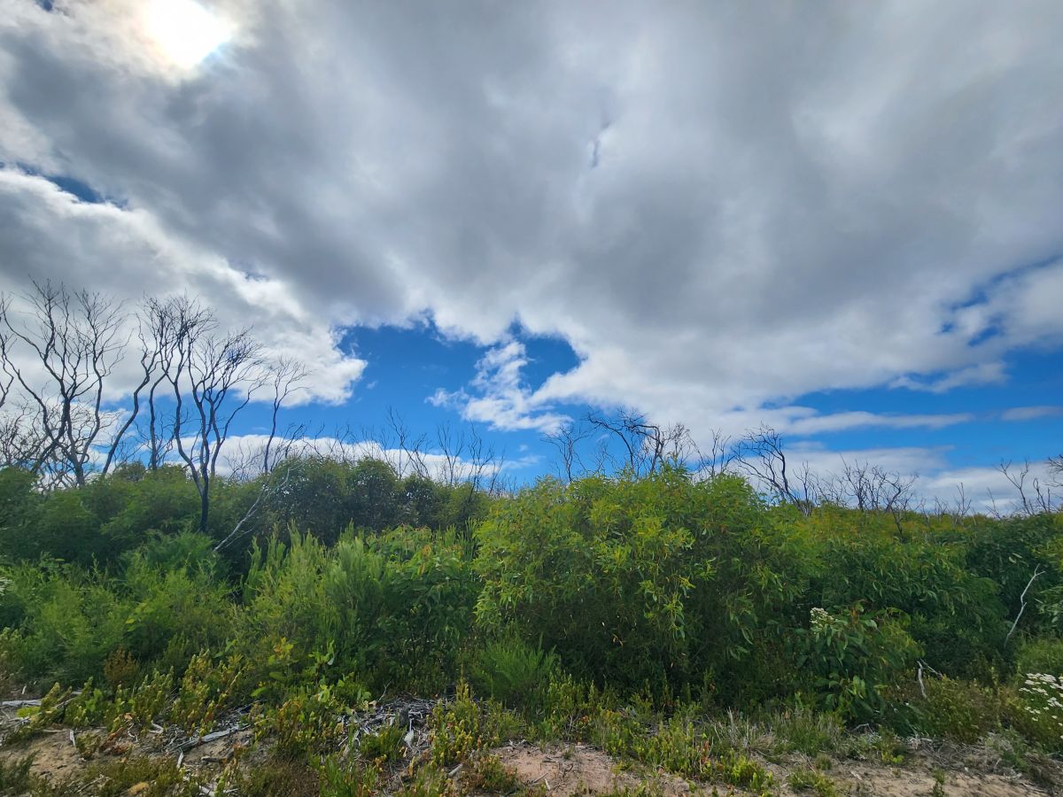
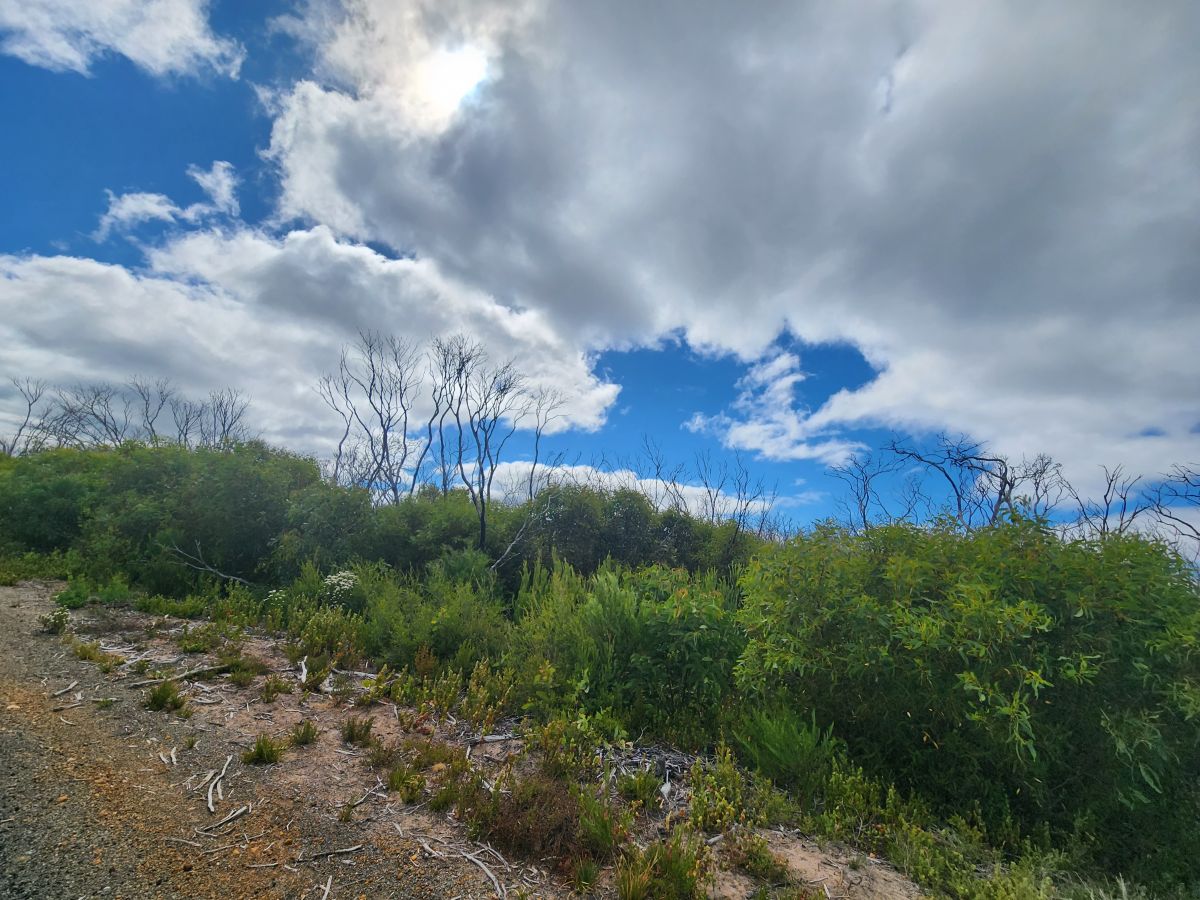
But seriously, there is nothing but farmland, an occasional house (farm) and not a single car on the road for miles!!!! Occasionally a car will pass in the other direction, and after the turn for the other town and airport a few of those huge lorries come towards us, otherwise? Nothing but farmland and burnt trees.
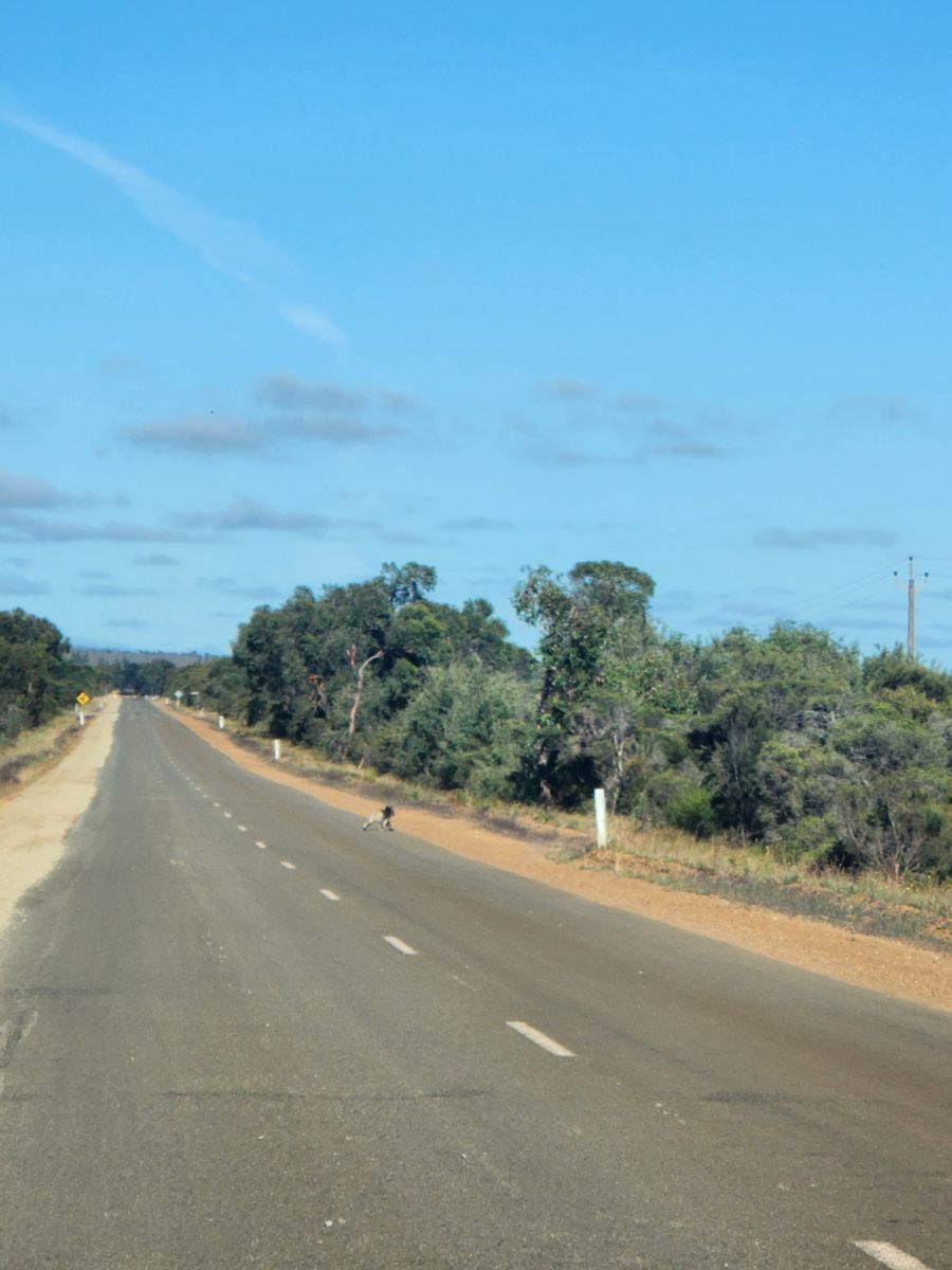

And no, before anyone asks, we did not see any kangaroos! Well, not live at least. Lots of dead ones on the side of the road, but none live. The only live animal we did see was this cute little koala running across the road. He was surprisingly fast! Fast enough we couldn’t get a good picture of him!
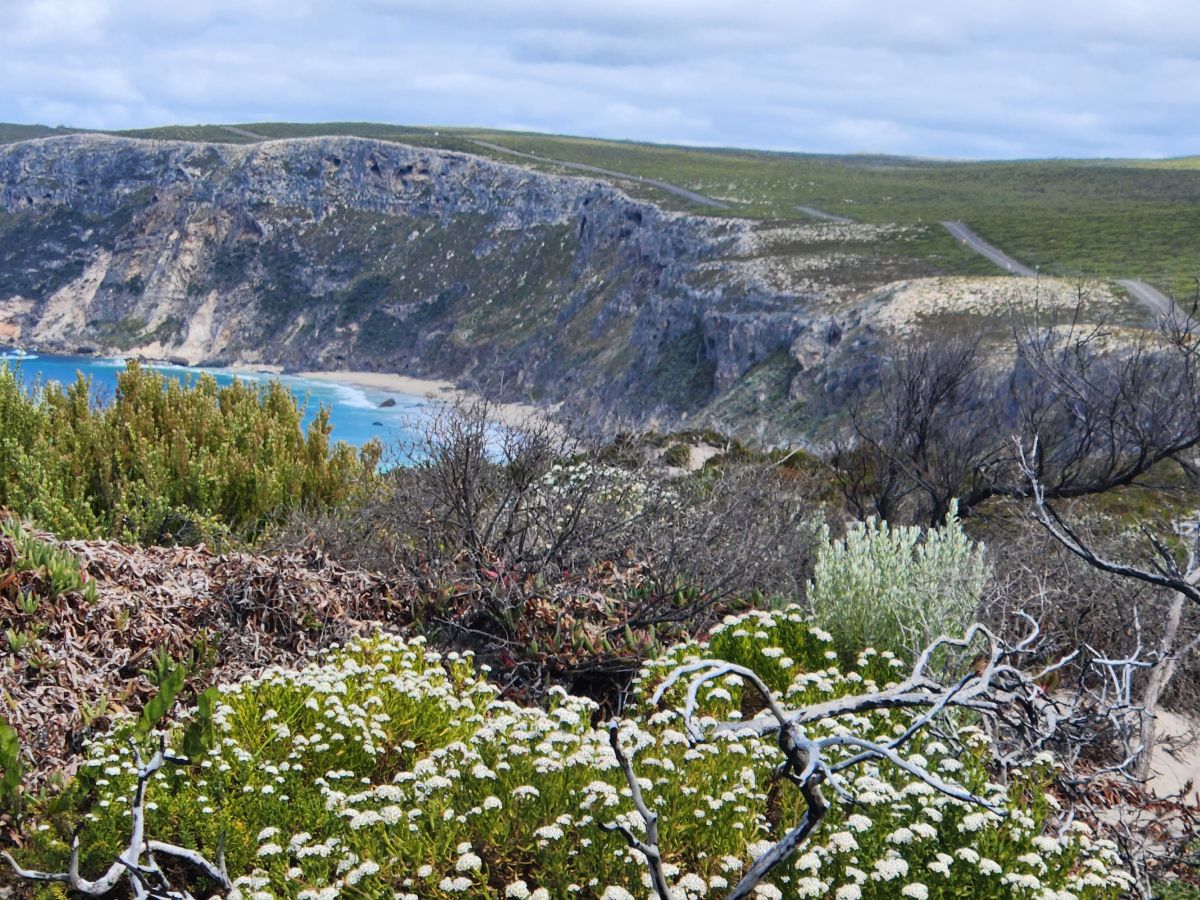
Burnt trees because of the horrific fire here 3 years ago which burnt so much vegetation and killed so many animals. 98% of Flinder’s Chase was burnt, but now, it’s amazing how fast the undergrowth and larger trees and shrubs are growing back. All along the road we see the burnt out tall branches of the trees sticking up out of the green new-growth.
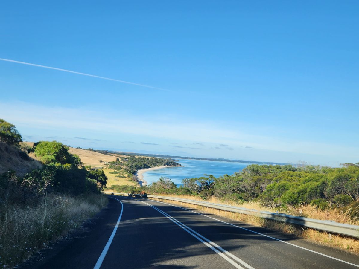
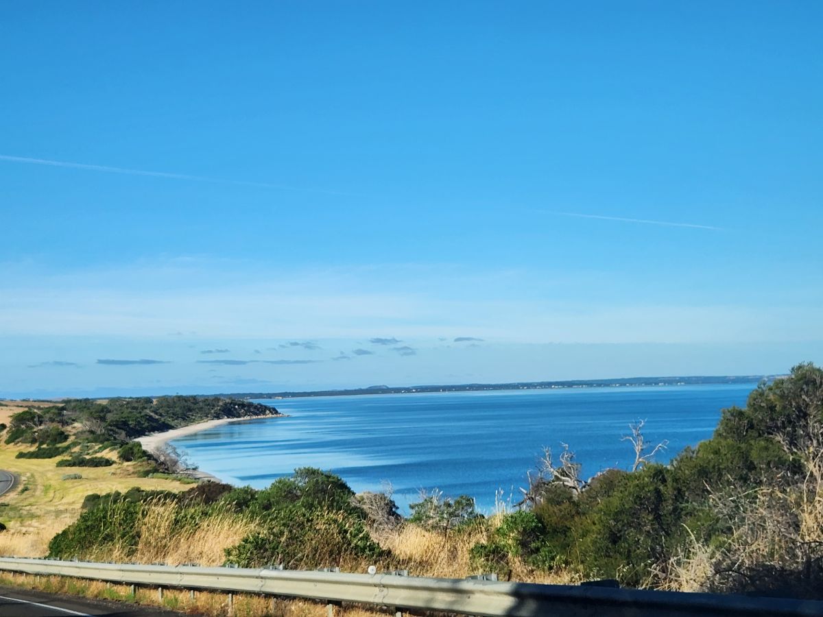
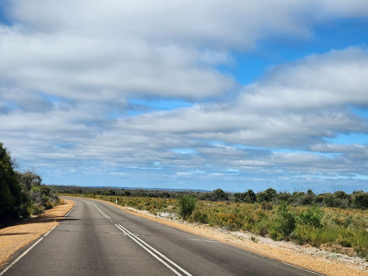
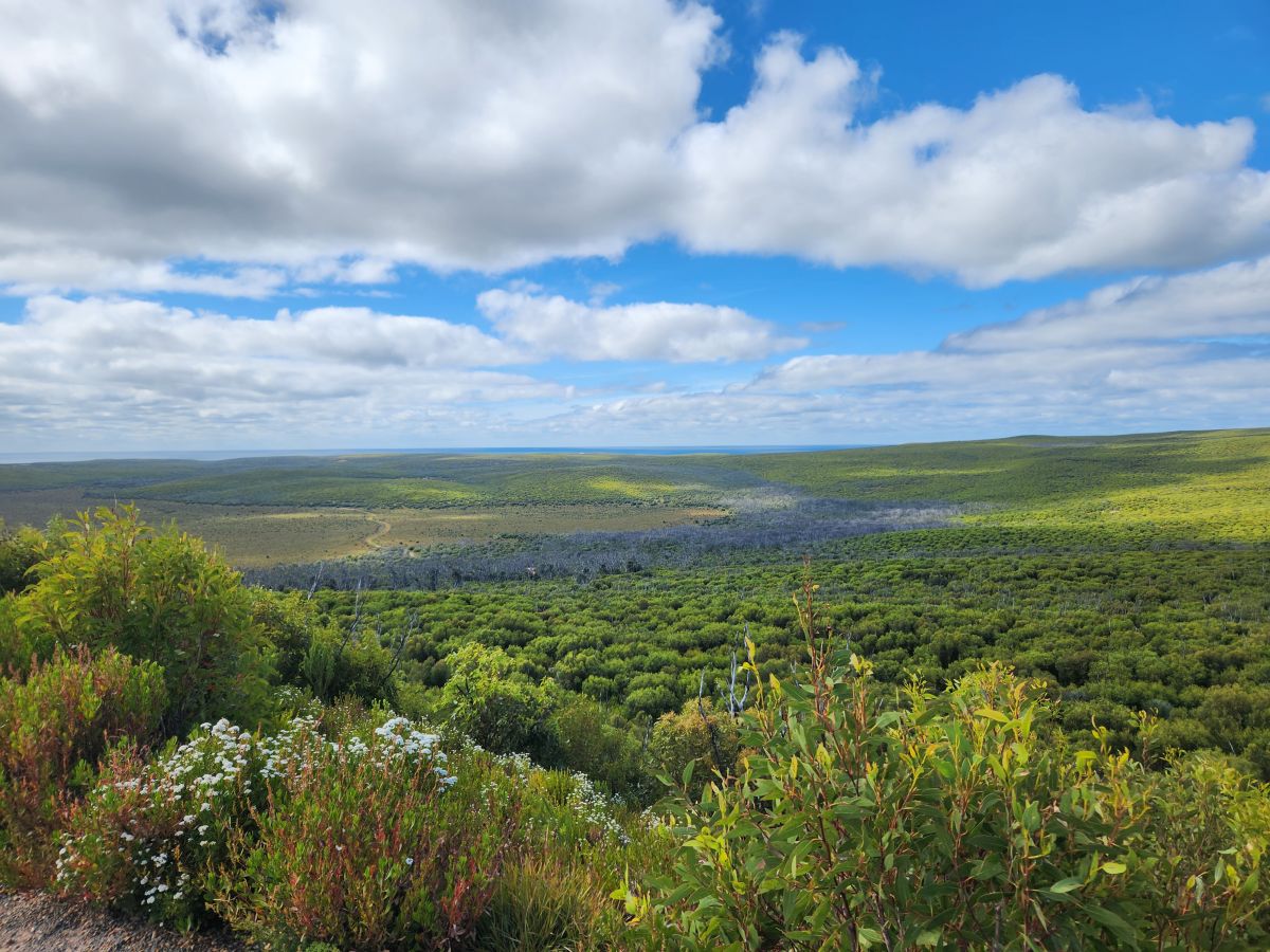
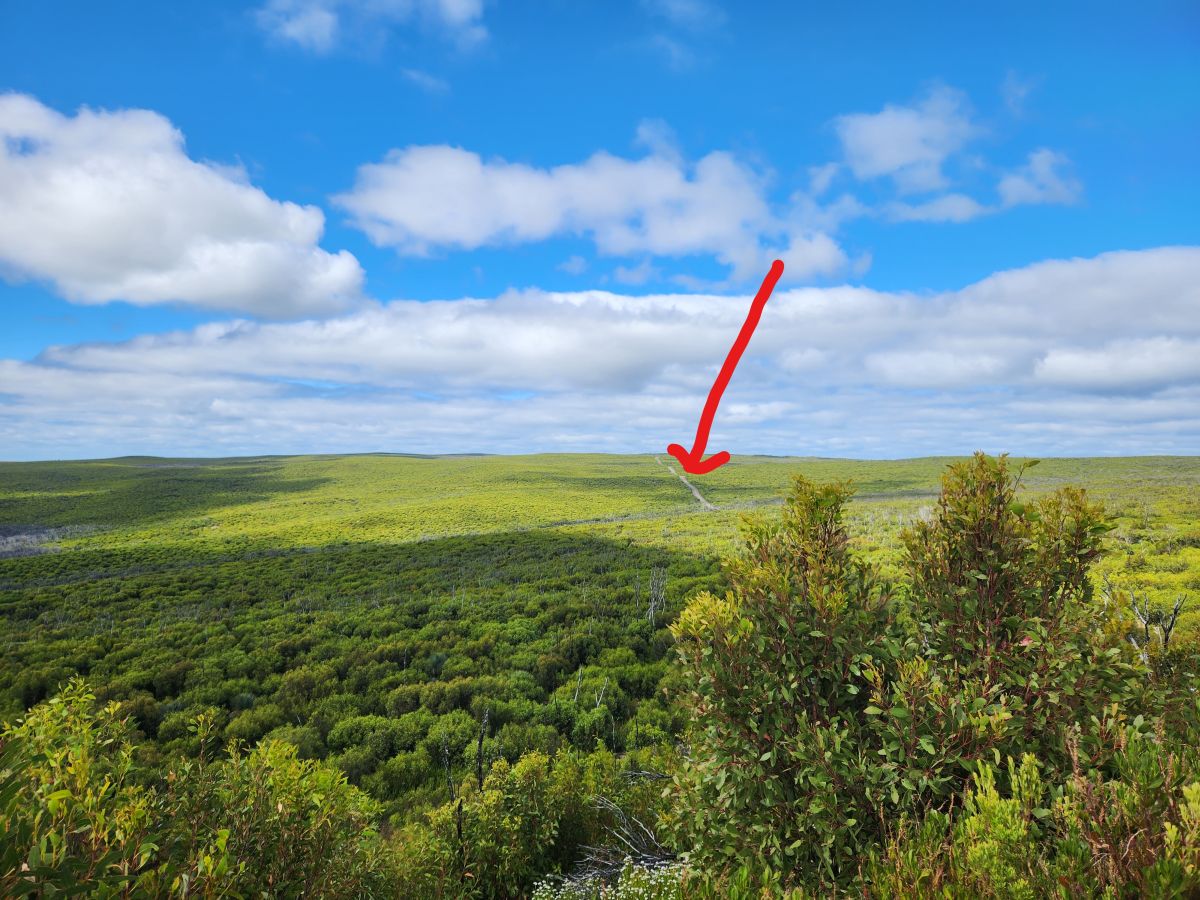
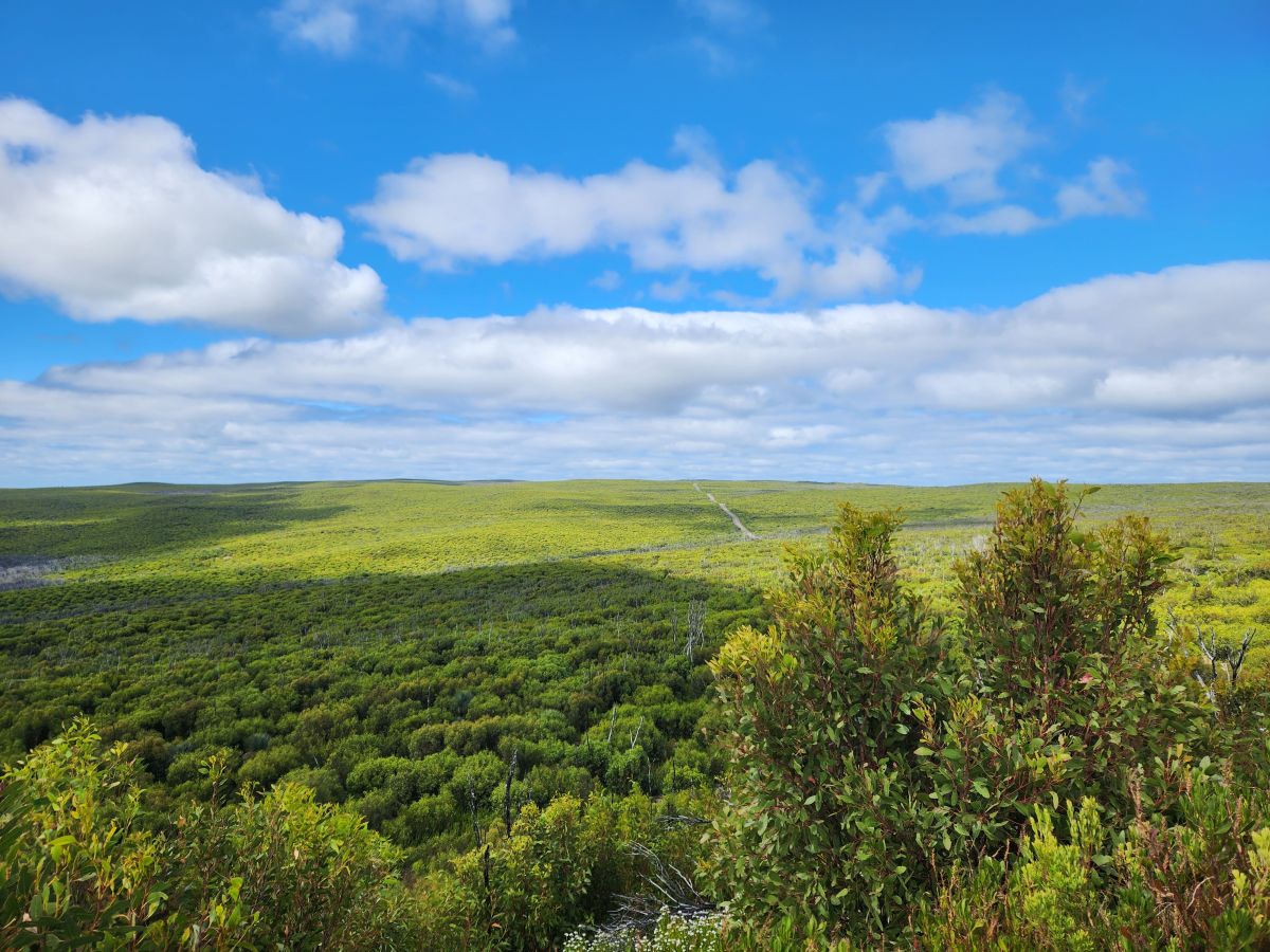
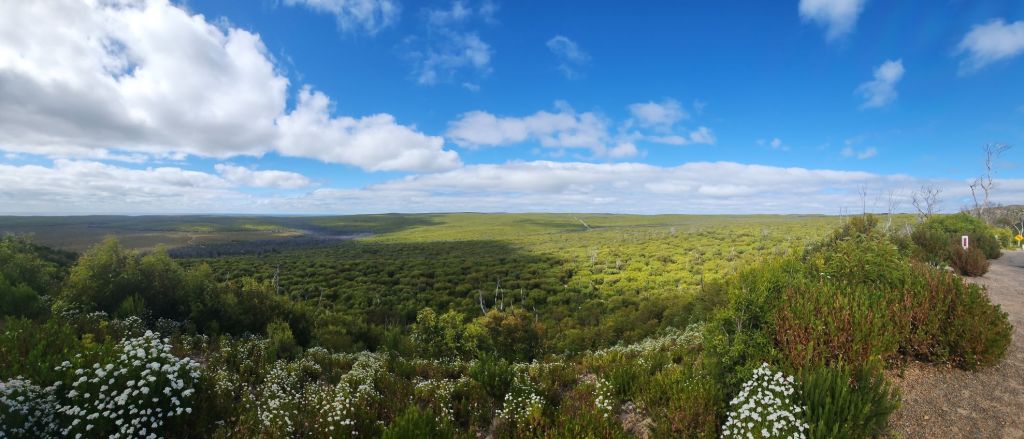
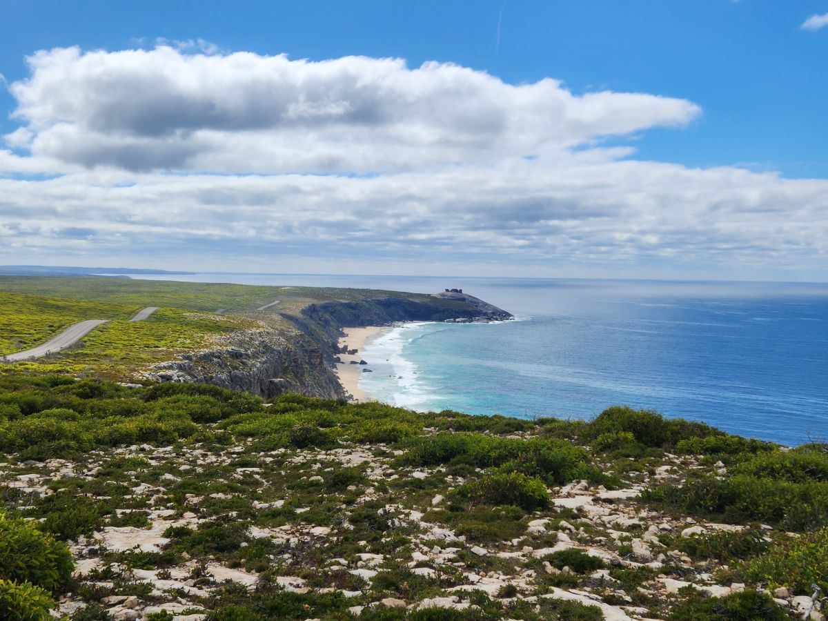
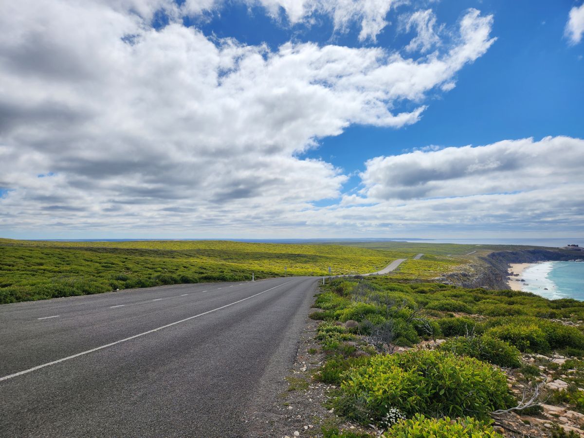
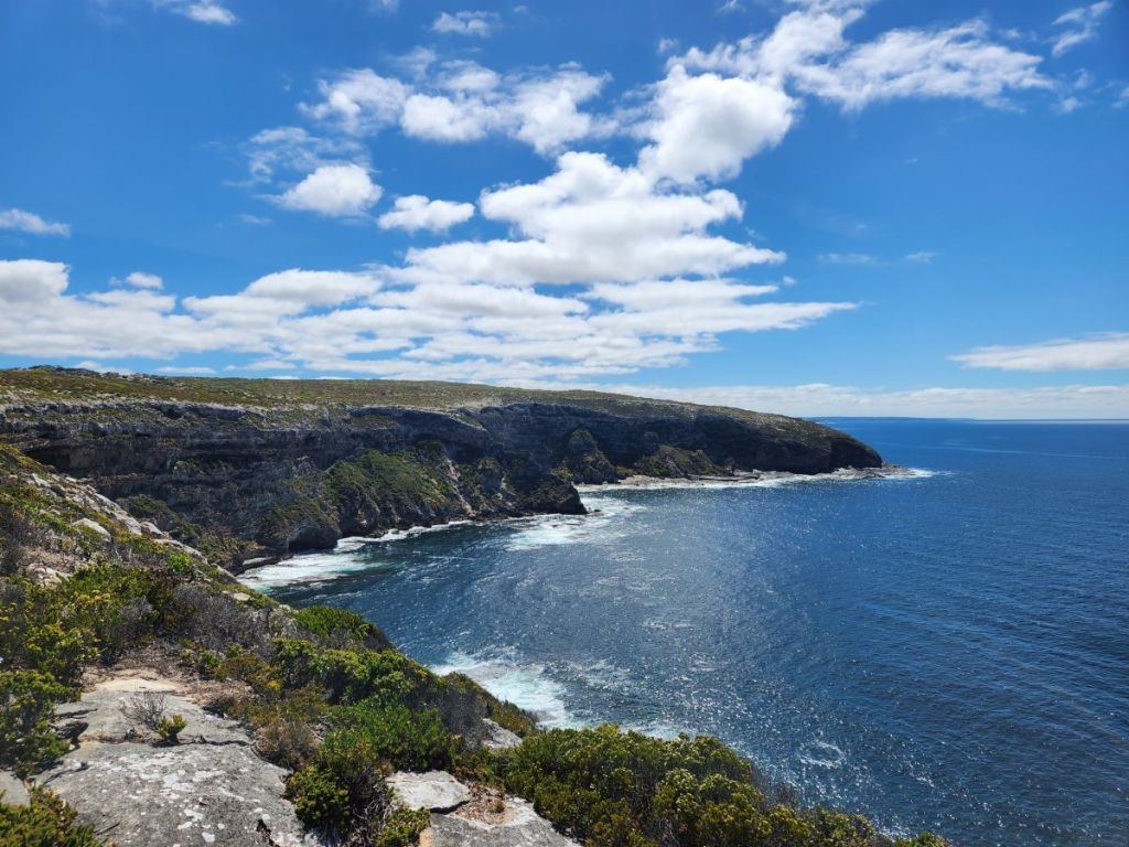
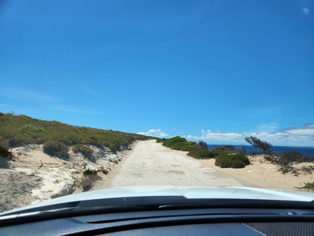
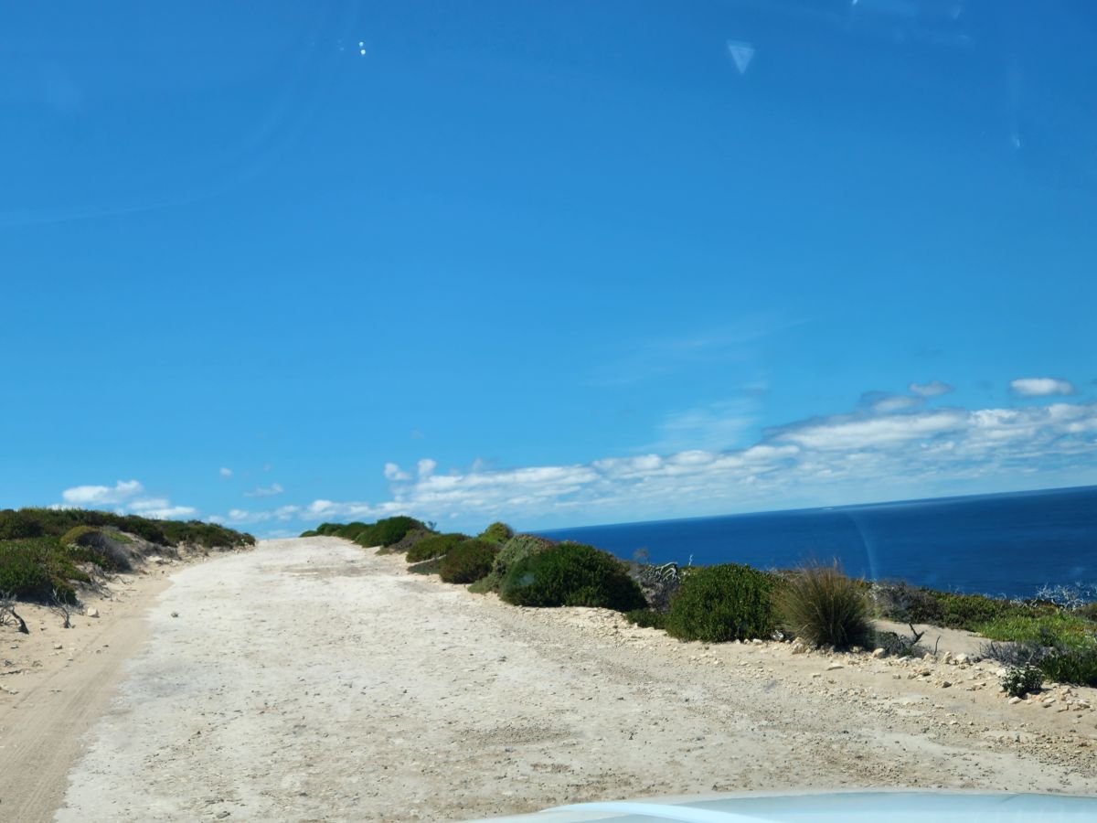
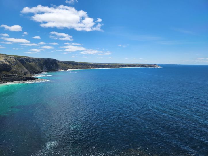
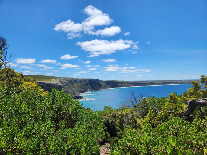
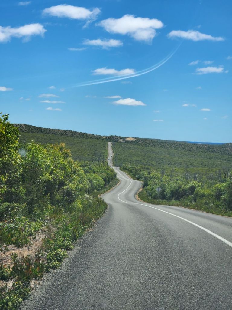
At one overlook, we stop for photos. A sea of rolling green hills stretching as far as the eye can see. And the road we are to follow (where the arrow is in the photo below)….stretching out into infinity almost – with not another vehicle in sight. You could almost believe you were alone in the world – and right at that point in time? We actually sort of were!
We (Ed) drove for almost 2 hours through this beautiful scenery – all on the left side of the road (Ed is such a GREAT driver!) – to the park where we checked in with the ranger after buying our tickets in advance online (there is precious little data or cell phone service here and the park website makes it a point to suggest you purchase your tickets in advance), get our little map, hit the bathrooms and soldier on into the park.
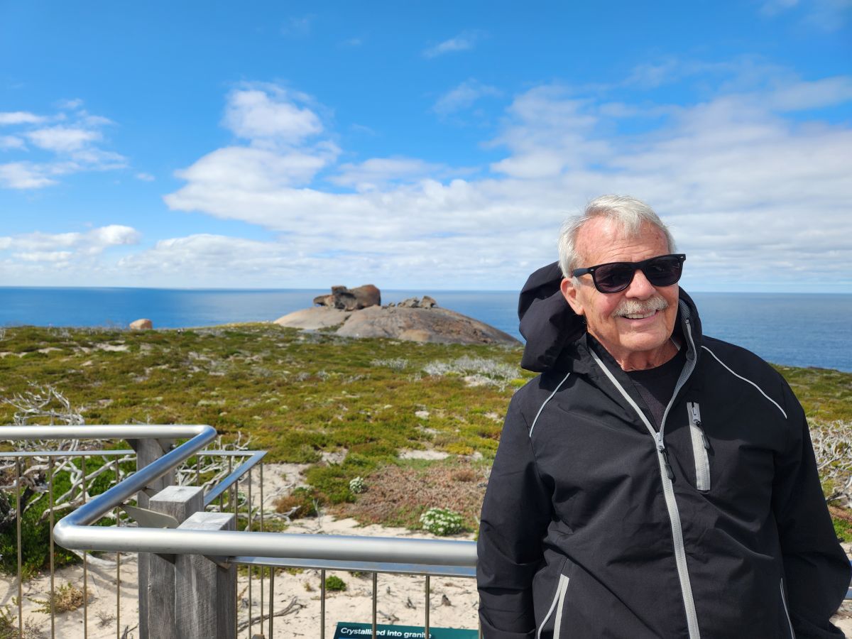
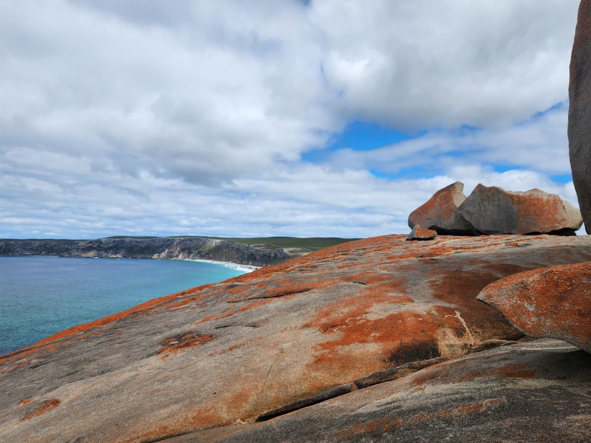
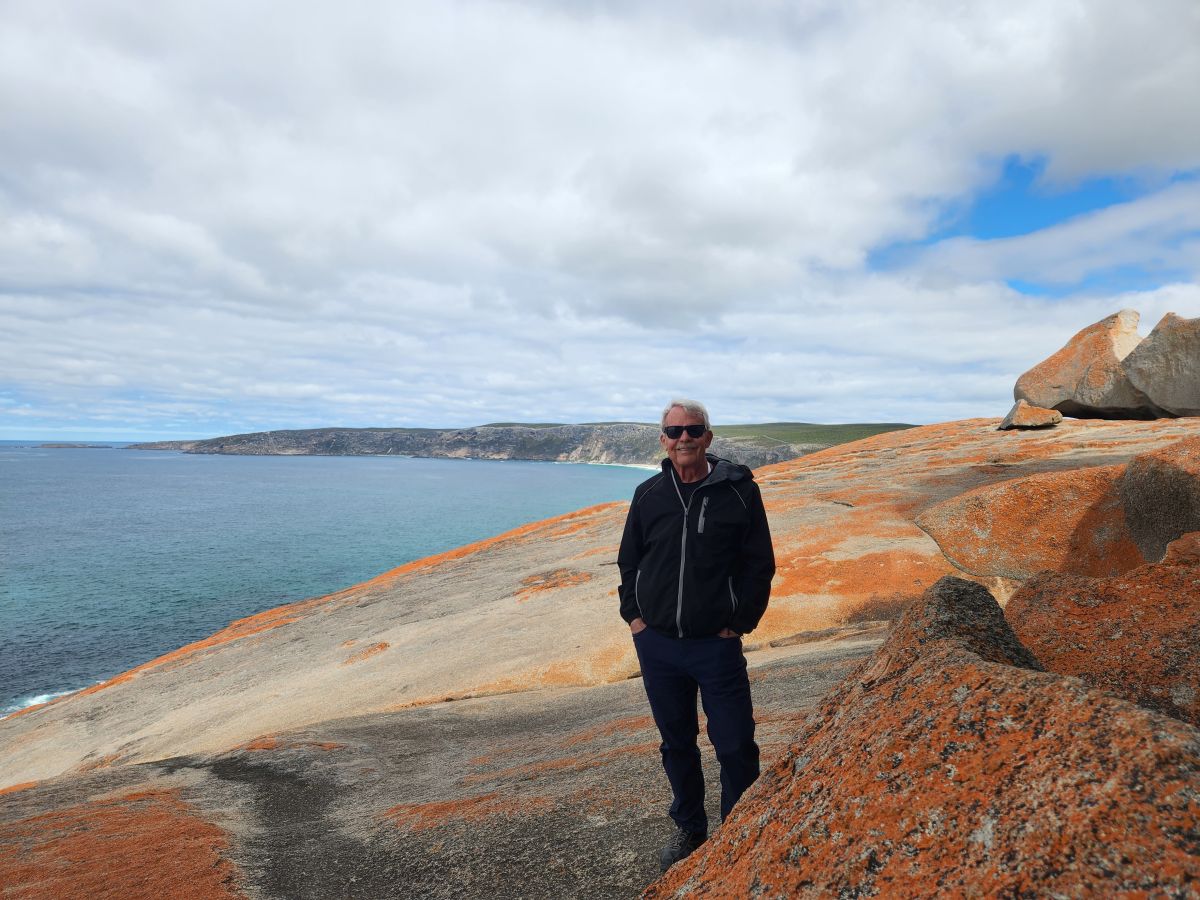
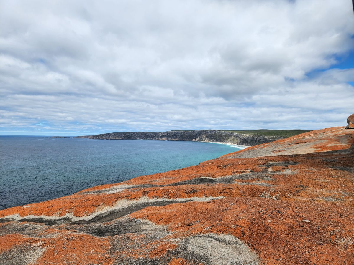
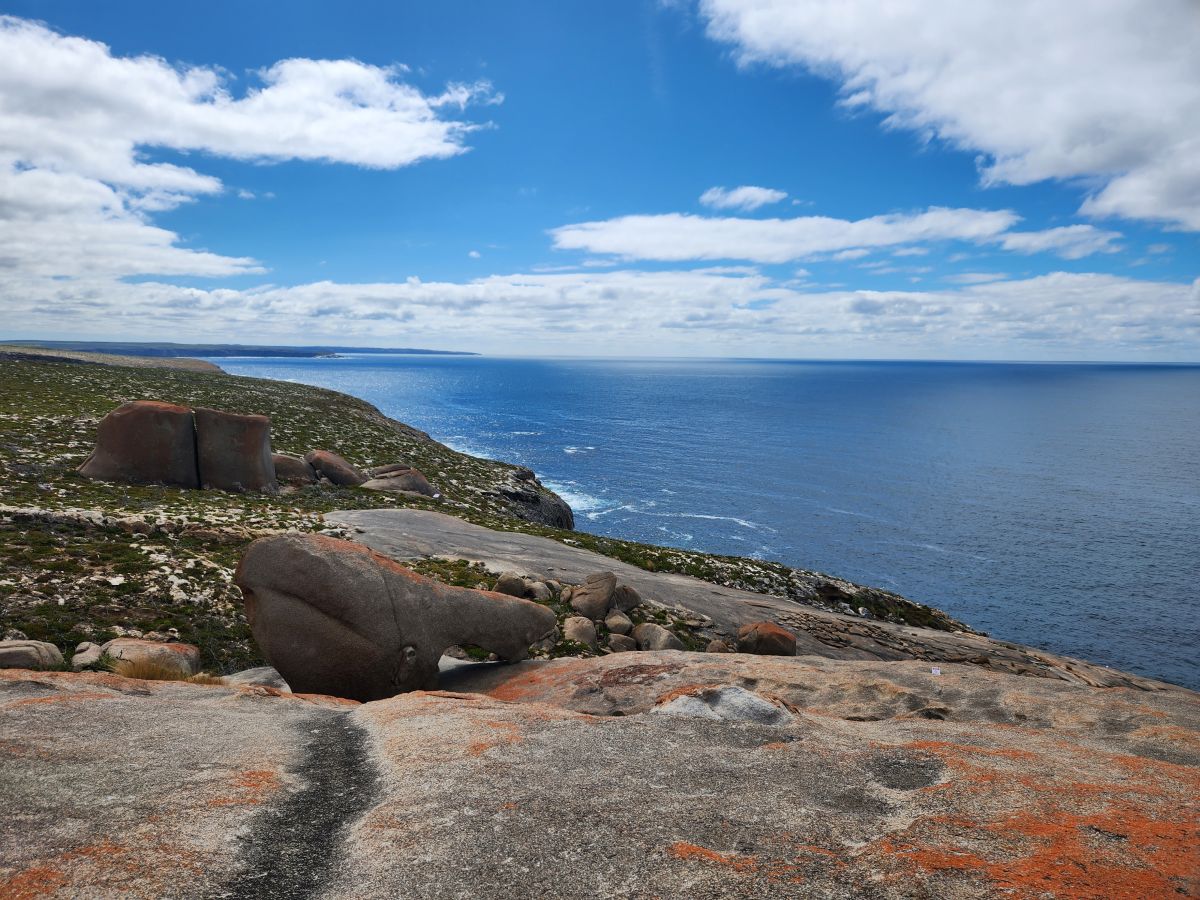
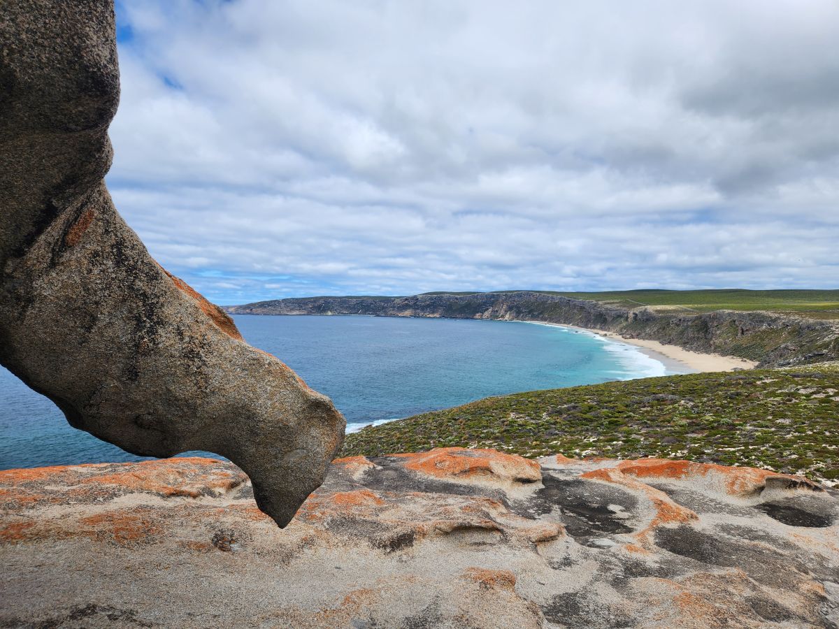
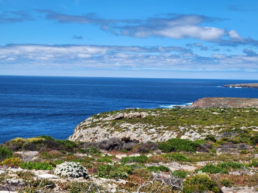
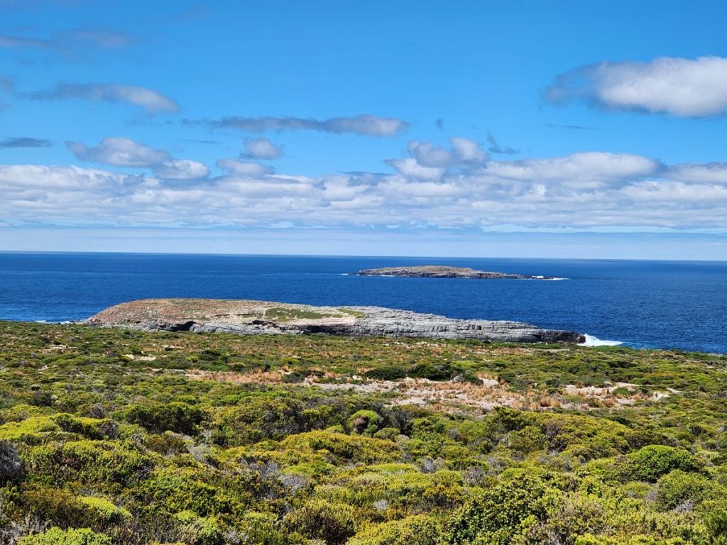
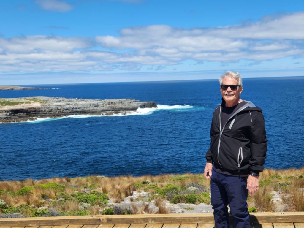
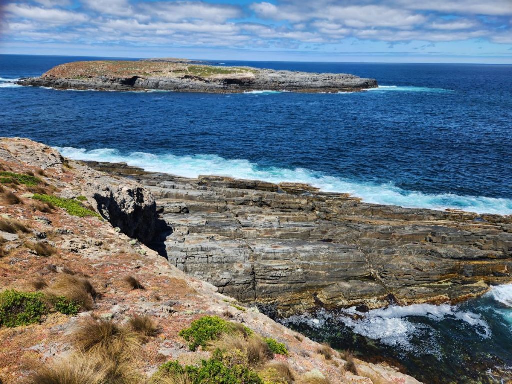
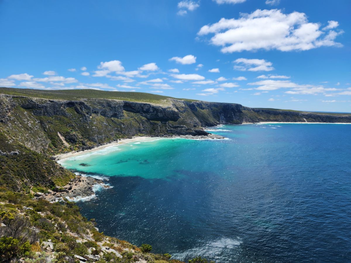
Following our strategy, we go to the furthest site in the park first: The Remarkable Rocks. We’ve not seen anyone on the road since we arrived, but know there are a couple of cars in front of us when we were checking in with the ranger. The views are amazing on the way – no one for miles still and the beautiful untamed coastline with the rocks in the distance.
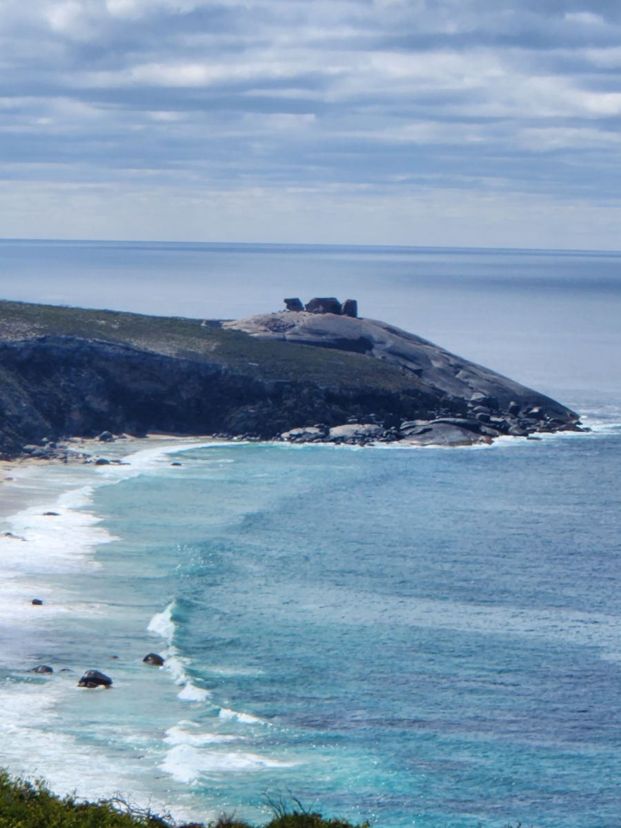
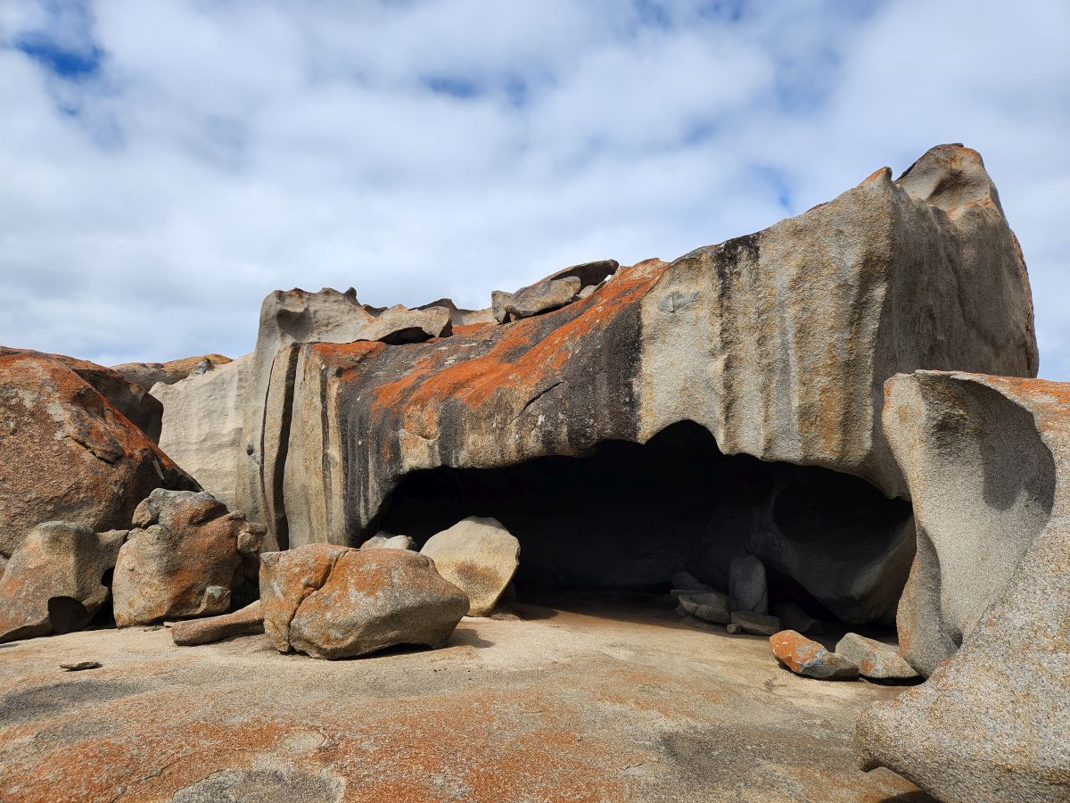
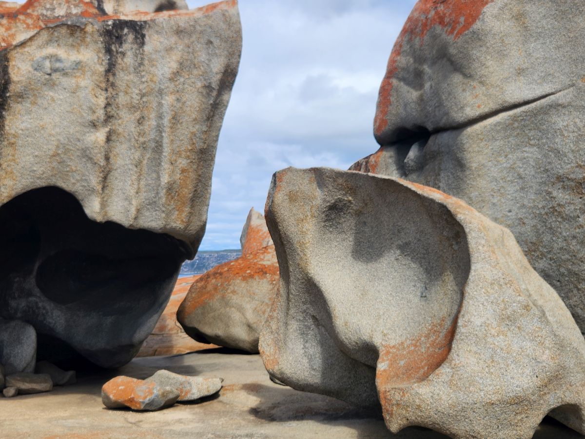
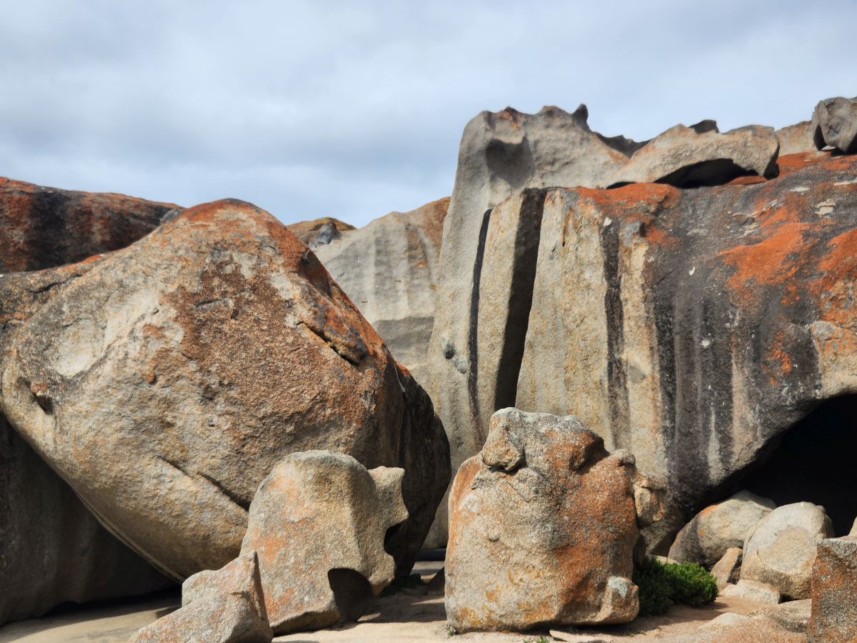
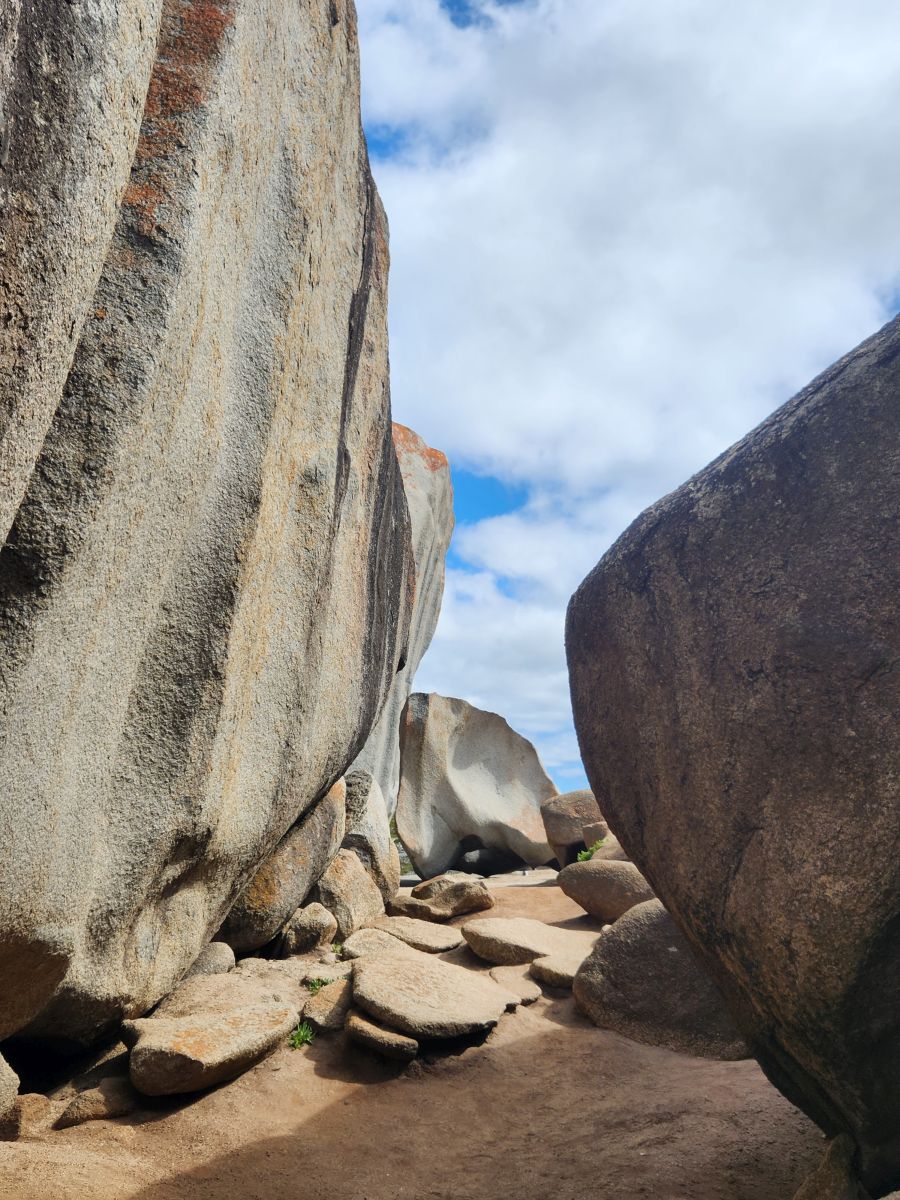
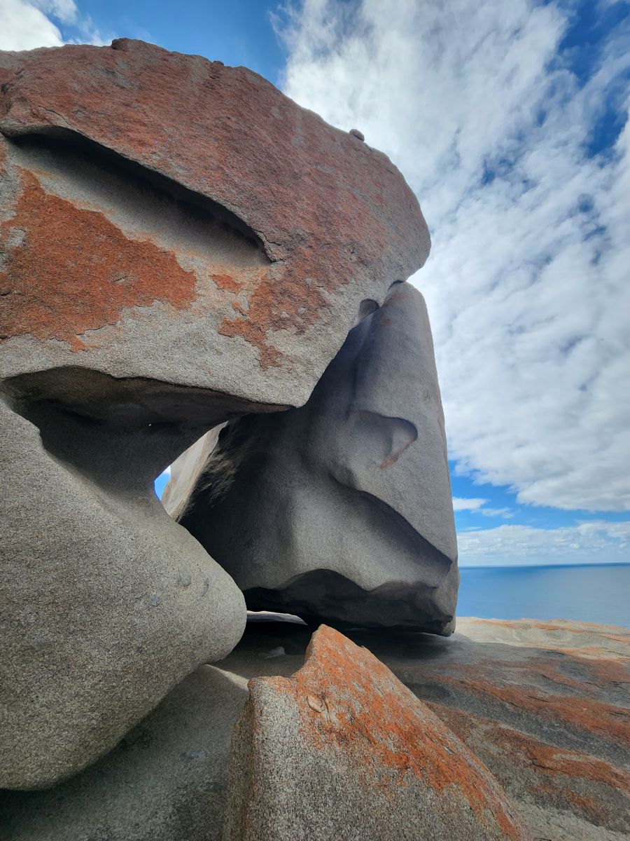
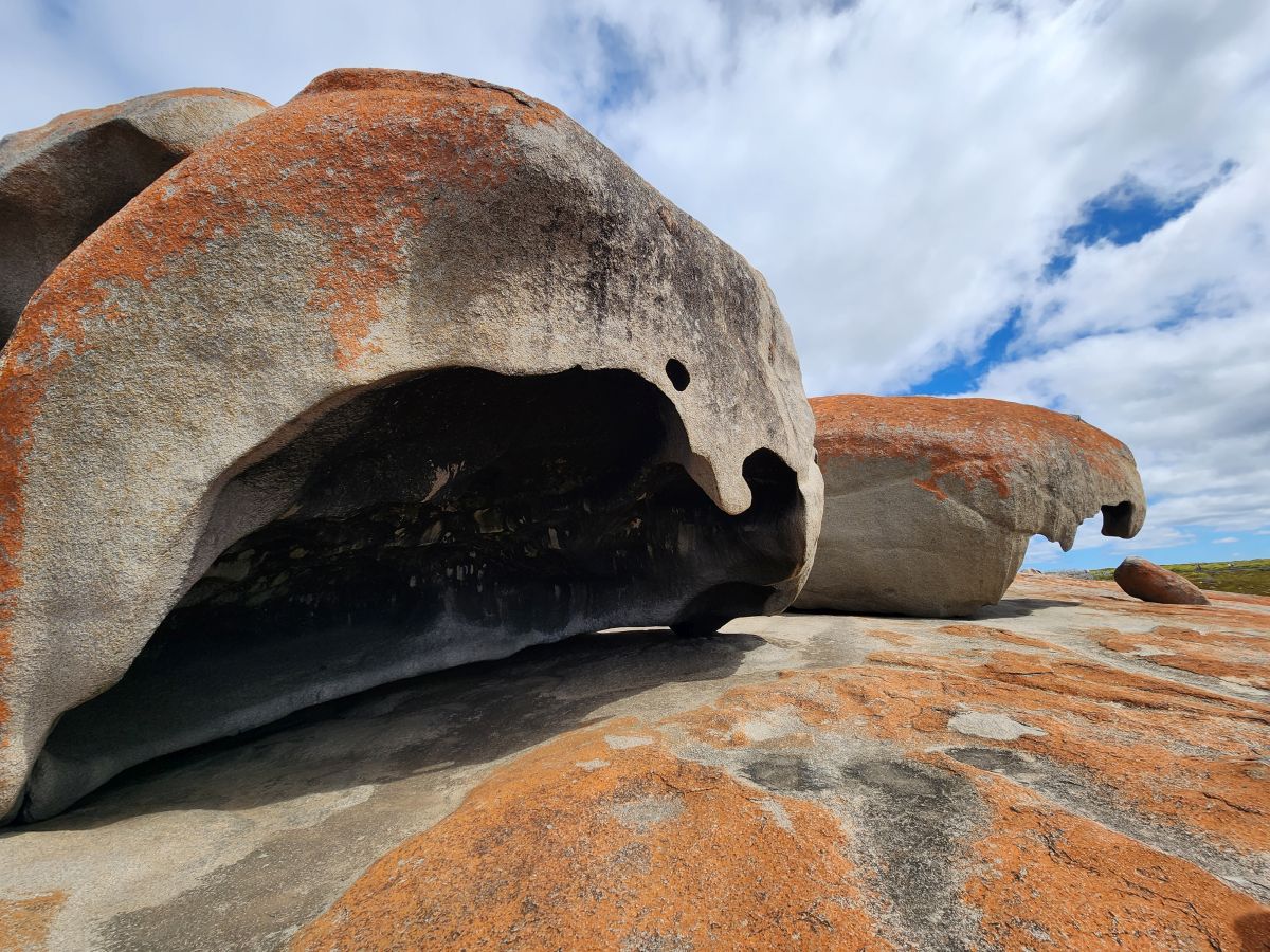
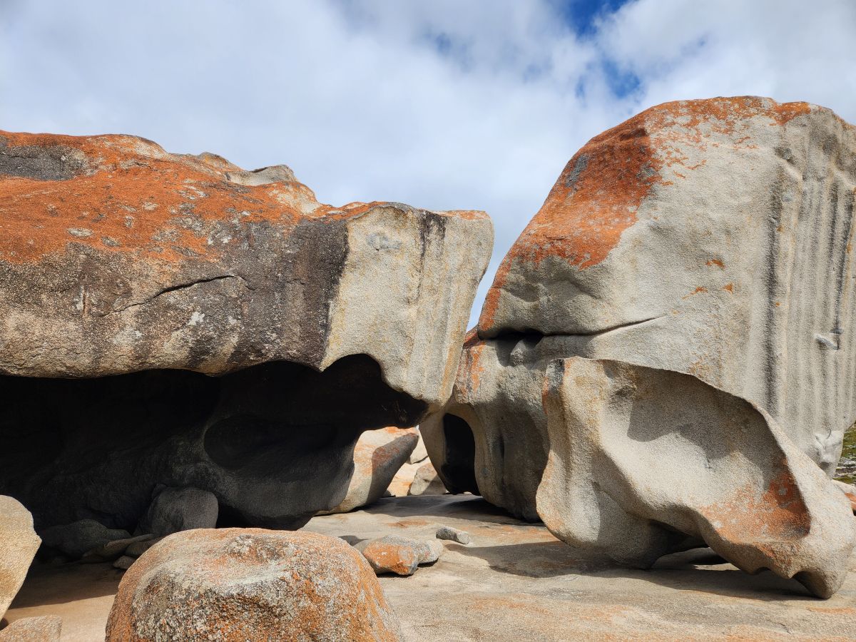
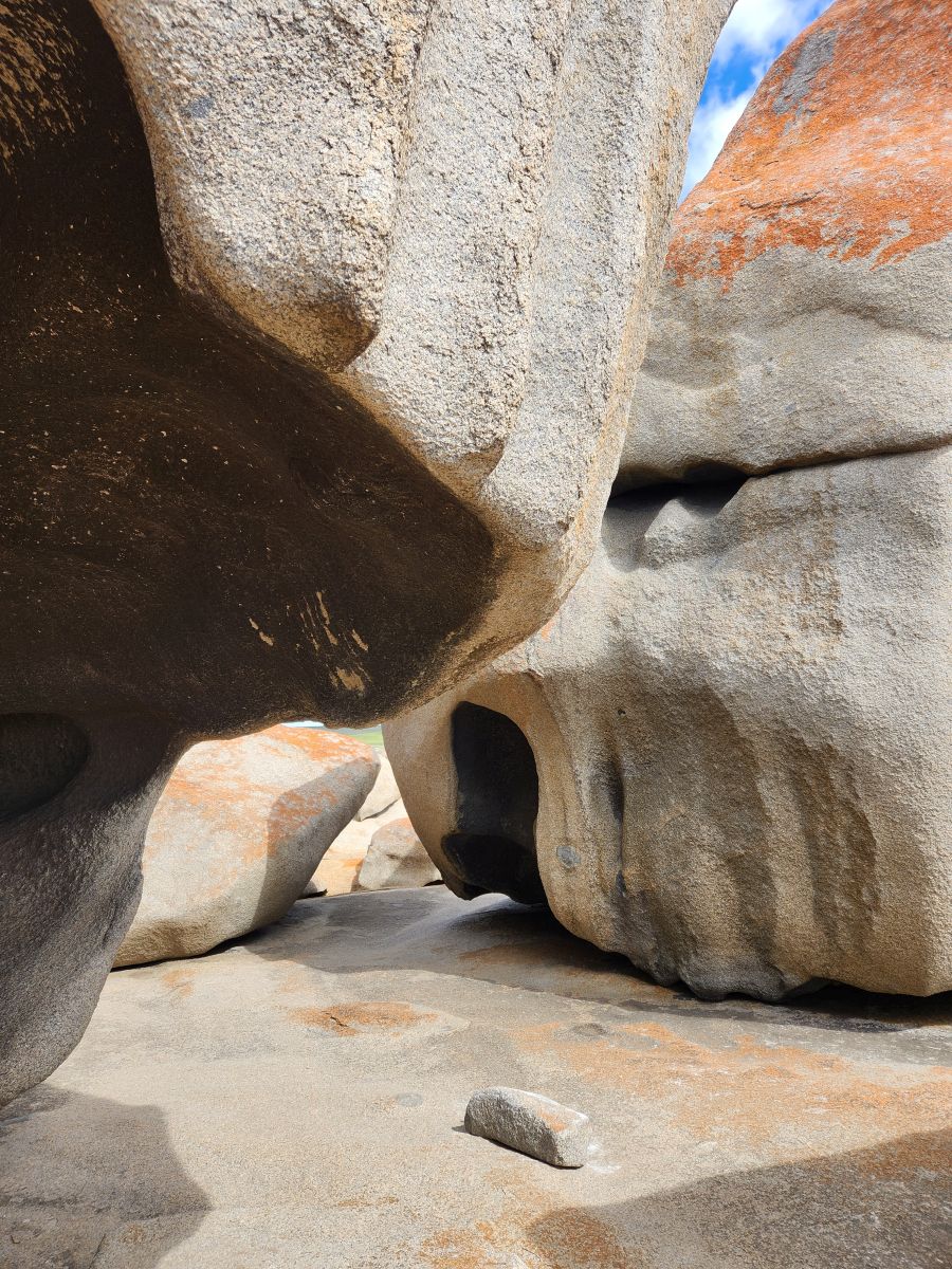
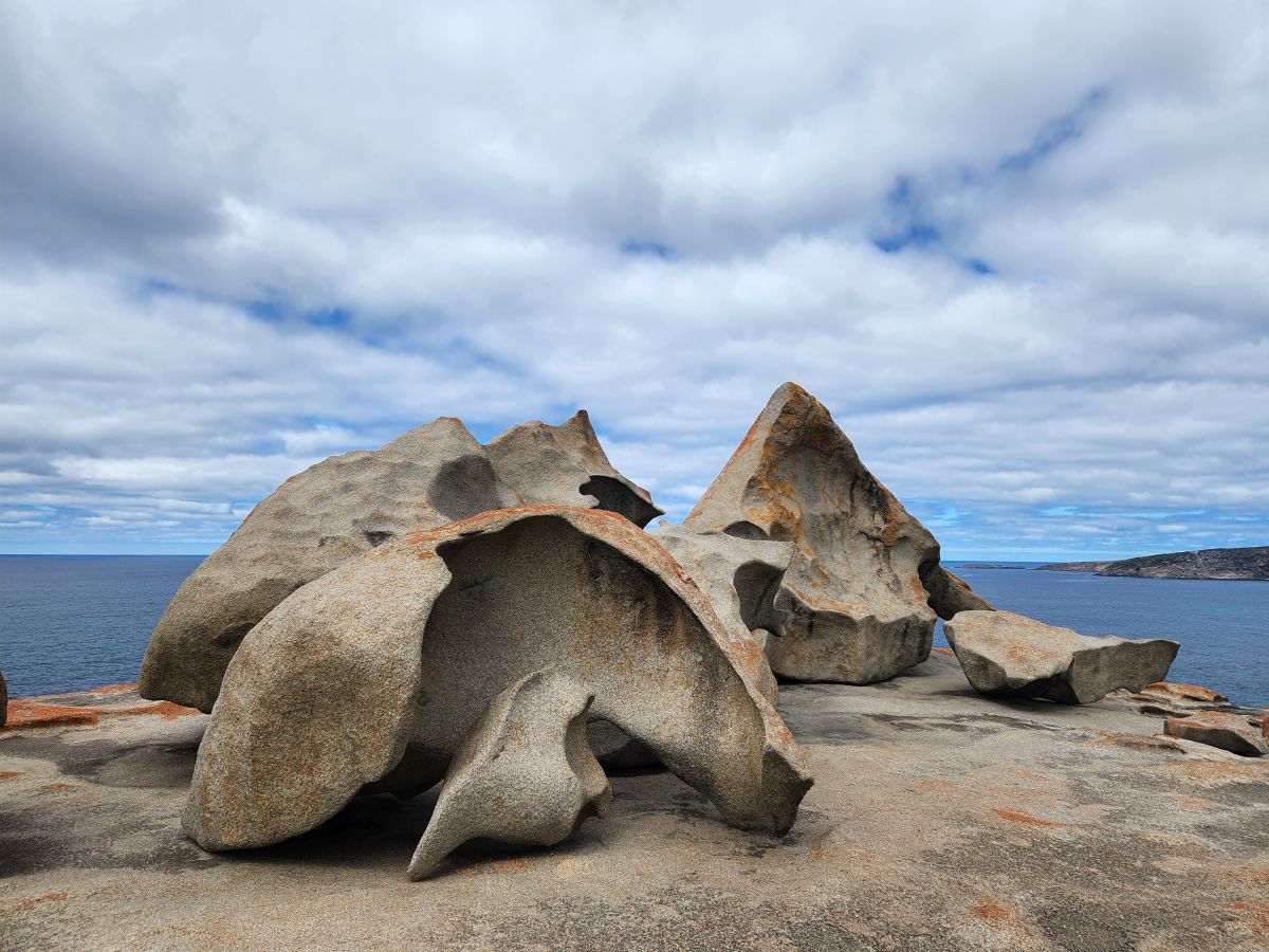
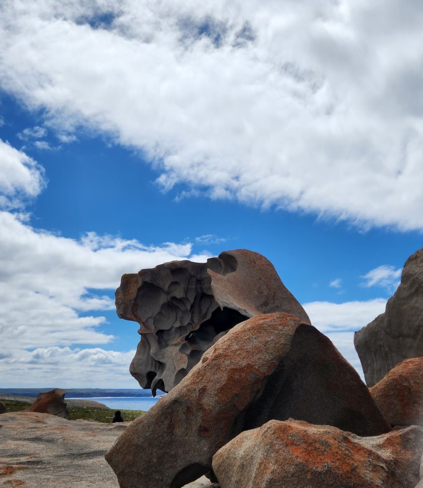
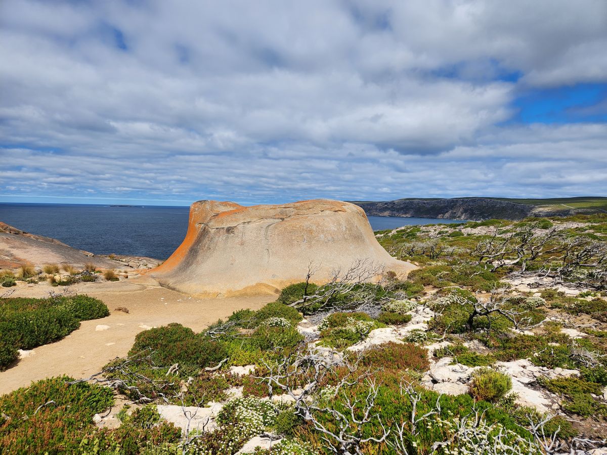
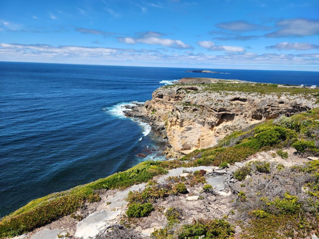
Arriving at the rocks, we find the other visitors! Although not a lot, there are still at least a dozen people out here – just enough to get in the way of a few pictures, but not enough to be obnoxiously overcrowded. The views from here are just gorgeous. Out over the water to the Remarkable Rocks, which are 500 million years old, created when the magma below the earth’s surface intruded up through the surface and the overlaying sedimentary rocks were heated and affected by the pressure. The rocks have been standing here, changing ever so slightly over time, as they are exposed to wind and rain. About 200 million years ago, fractures began to develop in the top sheet of the granite, and as time and weather wore on, the granite began to take the shape of a dome, eventually forming into what we see today – called a “domed inselberg” or “islands of rocks.”
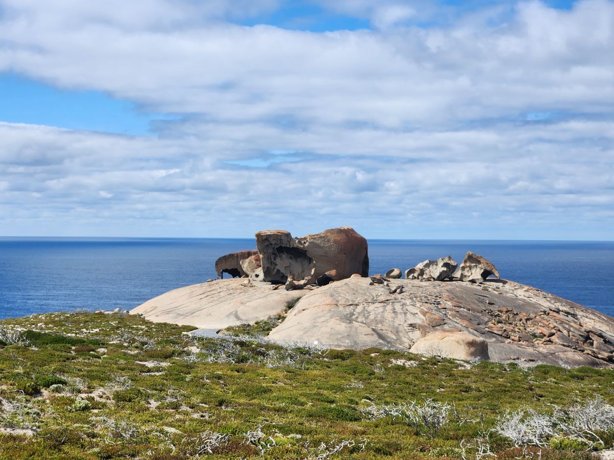
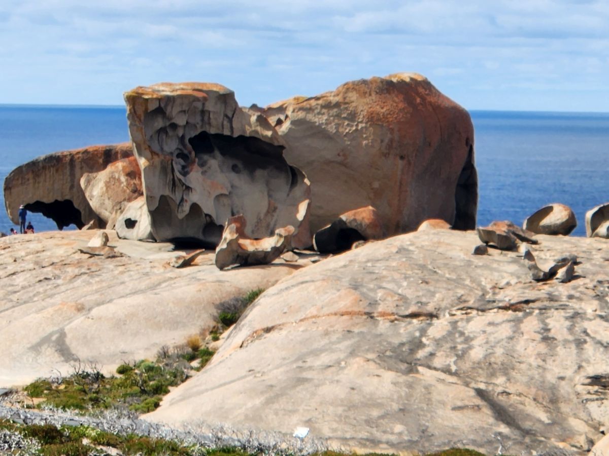
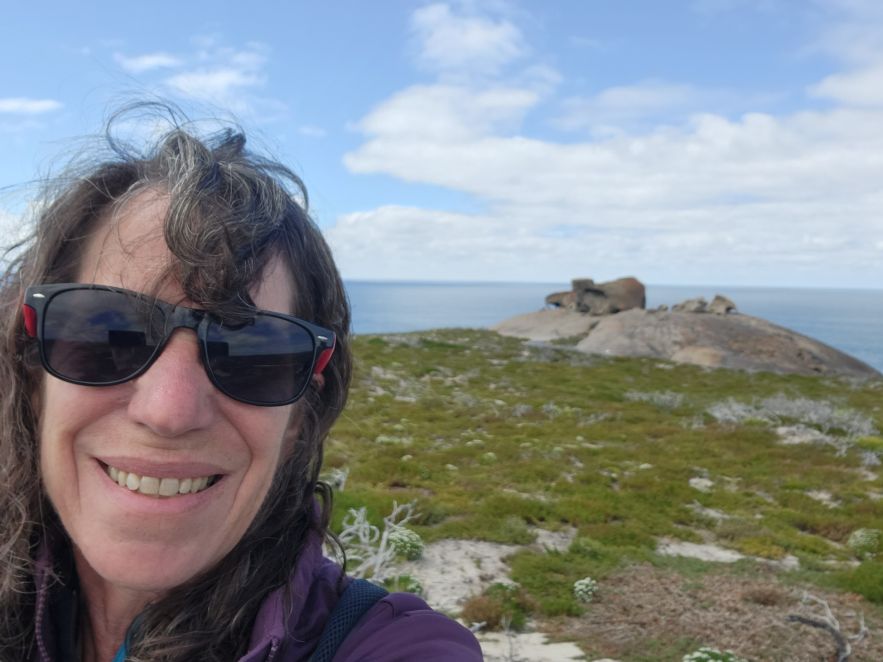
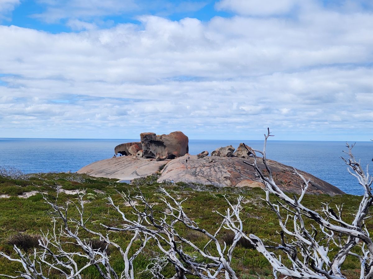
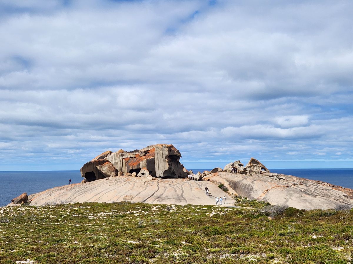
Whatever they are called, they are spectacular – and we can climb out there and explore all around them – being ever so careful to stay away from the edge of the cliff – marked everywhere with “no “prohibited area” signs because the rocks are covered with algae and are slick and dangerous. Uh yeah. Well, they are also really steep and a fall would take you straight down to the rocky outcrops in the water – so – um, yeah, we’re not getting close. But close to the Remarkable Rocks? Oh yeah!
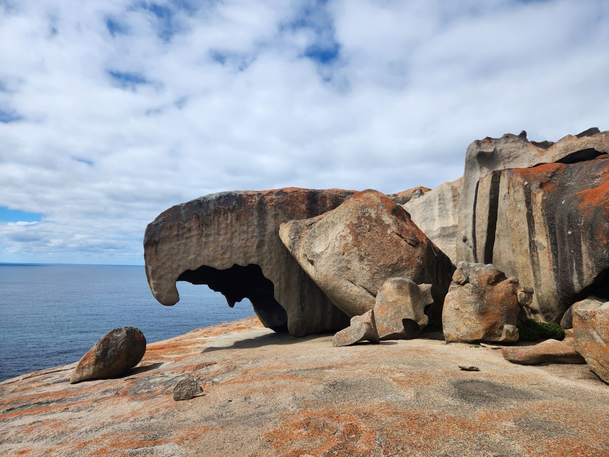
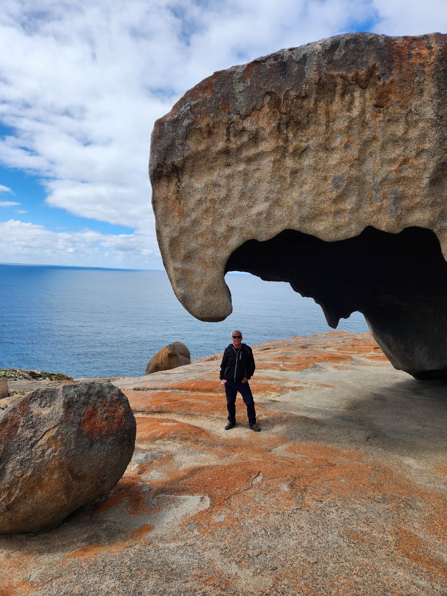
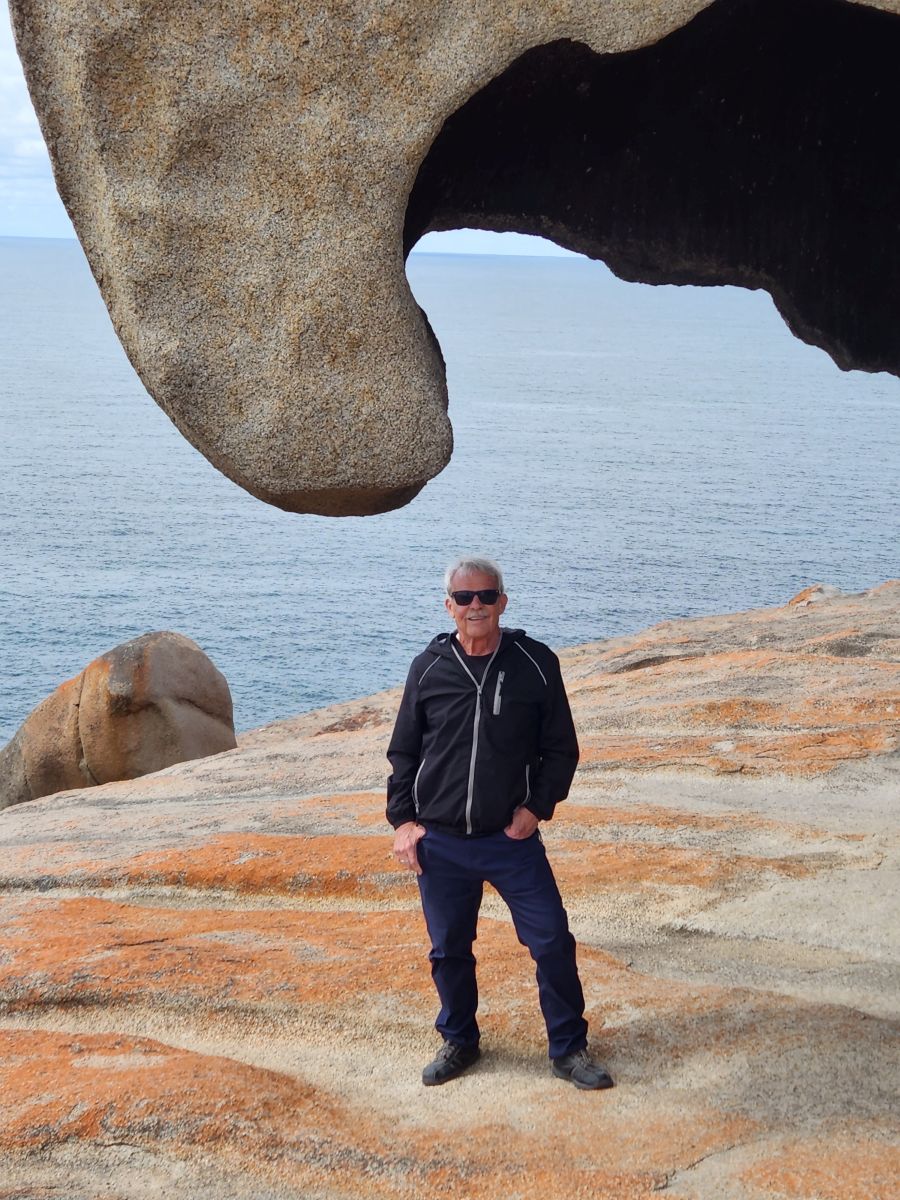
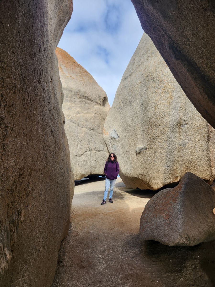
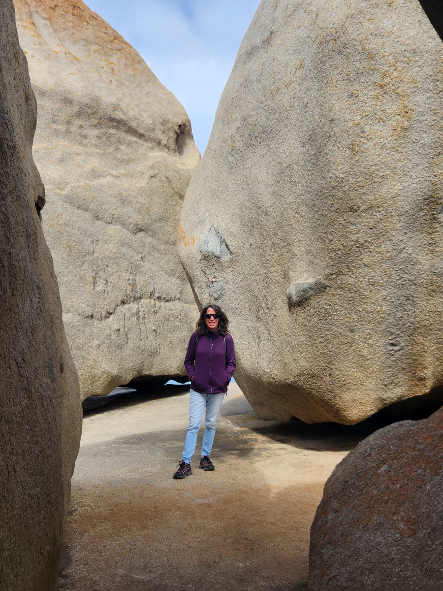
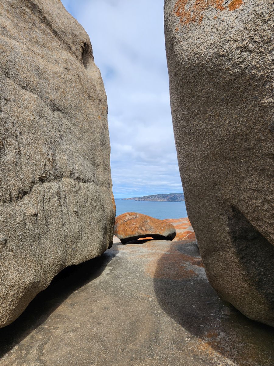
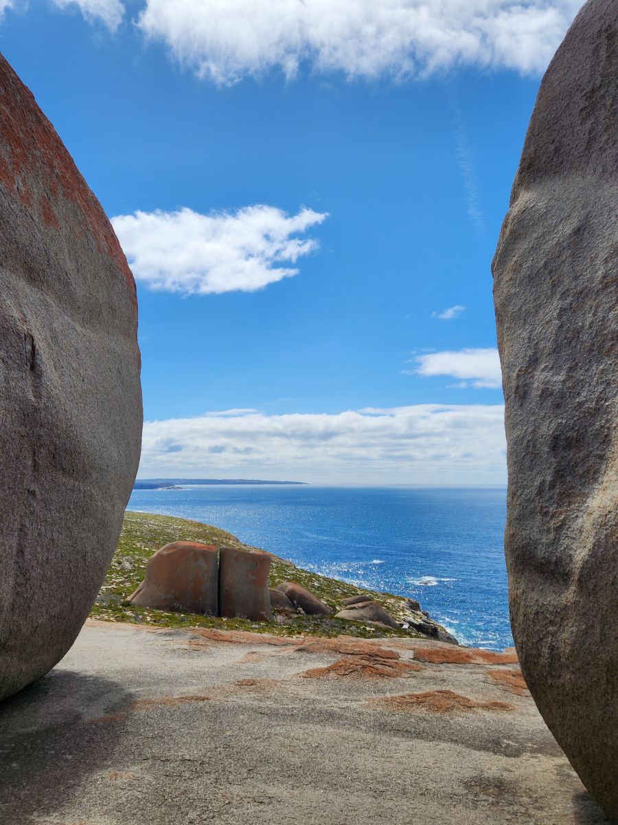
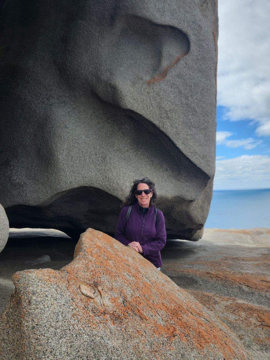
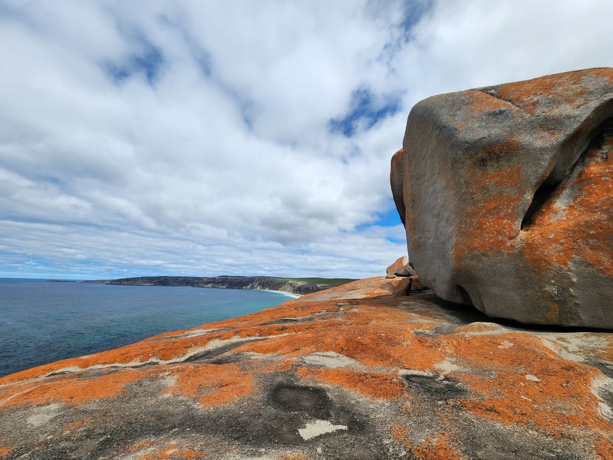
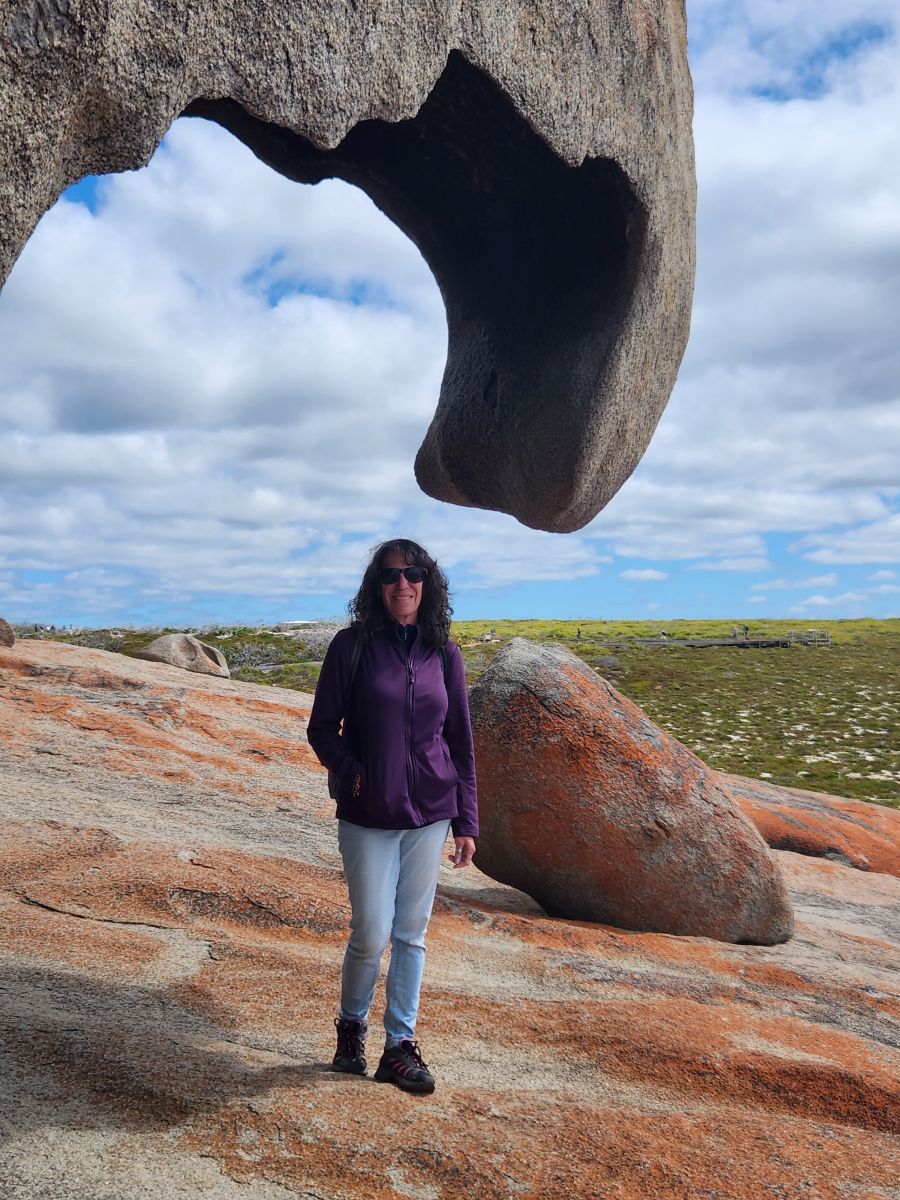
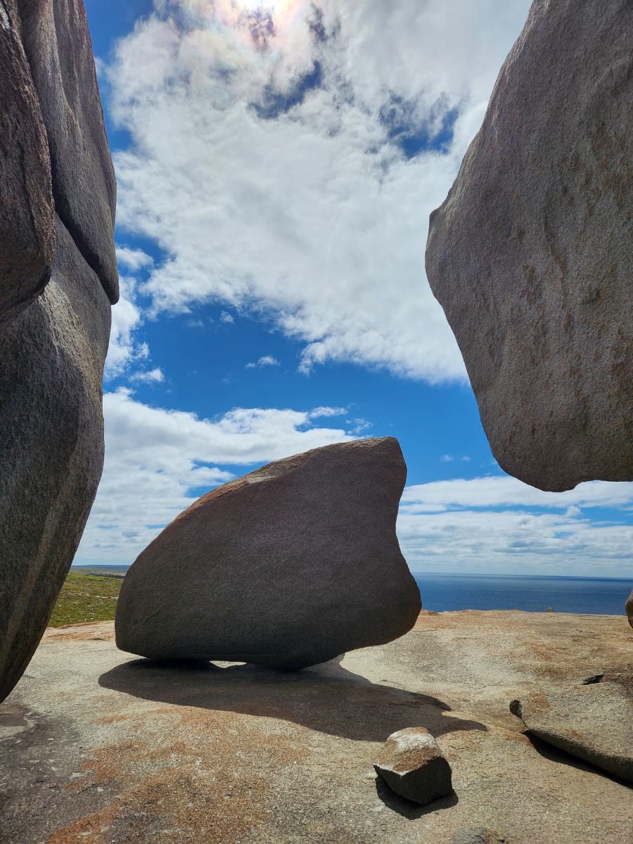
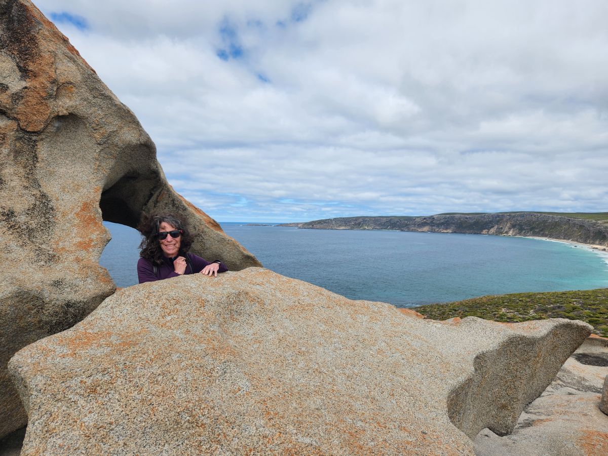
Ok, too many pictures, I know! But how could we not? It was just majestic and beautiful and so photogenic out there, we couldn’t resist. And even though there were some others there, you still could feel almost alone…..alone that is until as we are leaving, what pulls up? A tour bus from the ship! Yikes. Perfect timing for us, but this also means we need to skeedaddle onto the other areas we want to visit to stay ahead of the bus.
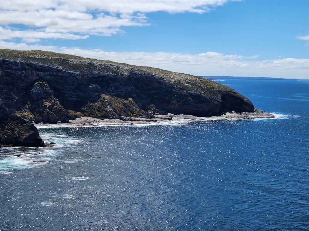
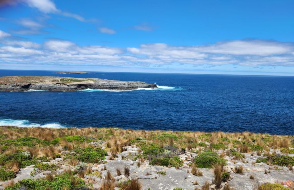
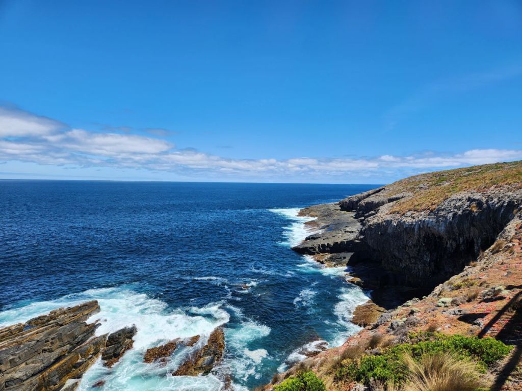
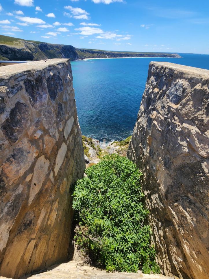
So skeedaddle we do, retracing our steps back out to Cape du Couedic – the Admiral’s Arch and lighthouse. Here there are definitely more people. The car park, while relatively small, is almost full actually, so no more alone in the world, but there are so many areas out here to hike and walk and take in the scenic views, that it still doesn’t feel crowded.
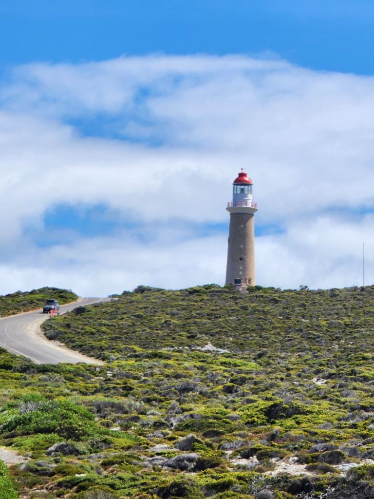
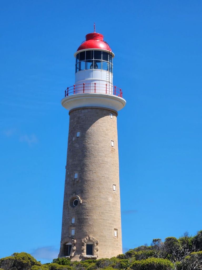
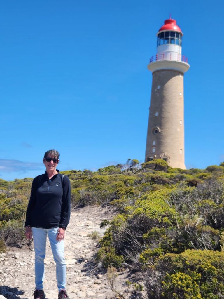
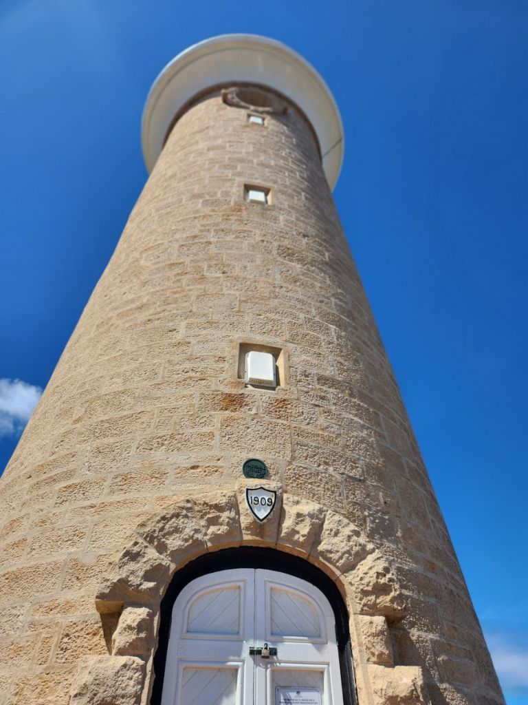
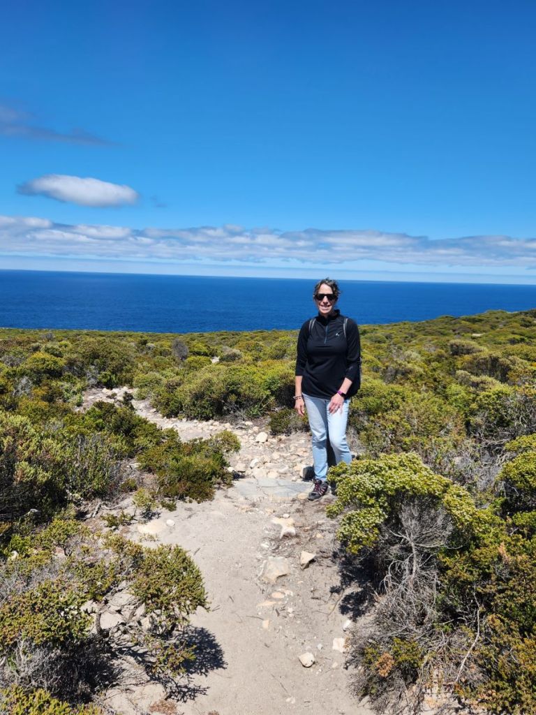
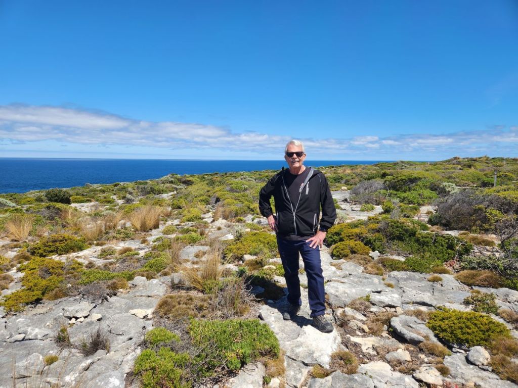
Instead of going straight down the boardwalk to the Admiral’s Arch, we strike out through the scrub brush and hike around the curve of the cliffs bordering the Southern Ocean. Again, we have the little trails to ourselves as we explore the scrub, staring out over the raging ocean and gazing up at the Cape du Couedic lighthouse, built in 1907 to safely guide ships away from the coast.
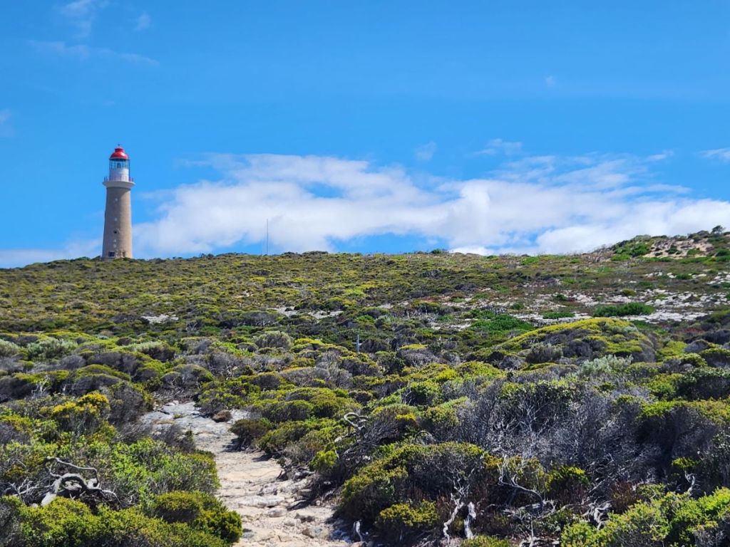
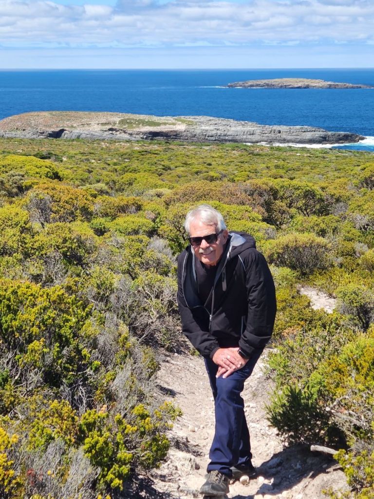
Rounding the lighthouse, we turn back toward the coast, and instead of following the paved road back down, we continue on with the little scrub hike making a complete circuit back to the small lower lot and the boardwalk. Although following the trail could get a little dicey – I mean really, look at the last picture below with Ed, does this look like a trail? It was! thankfully we could see the parking lot so we knew we could go “off-trail,” so to speak, if we had to!
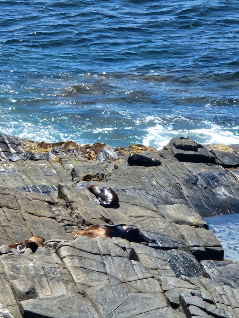
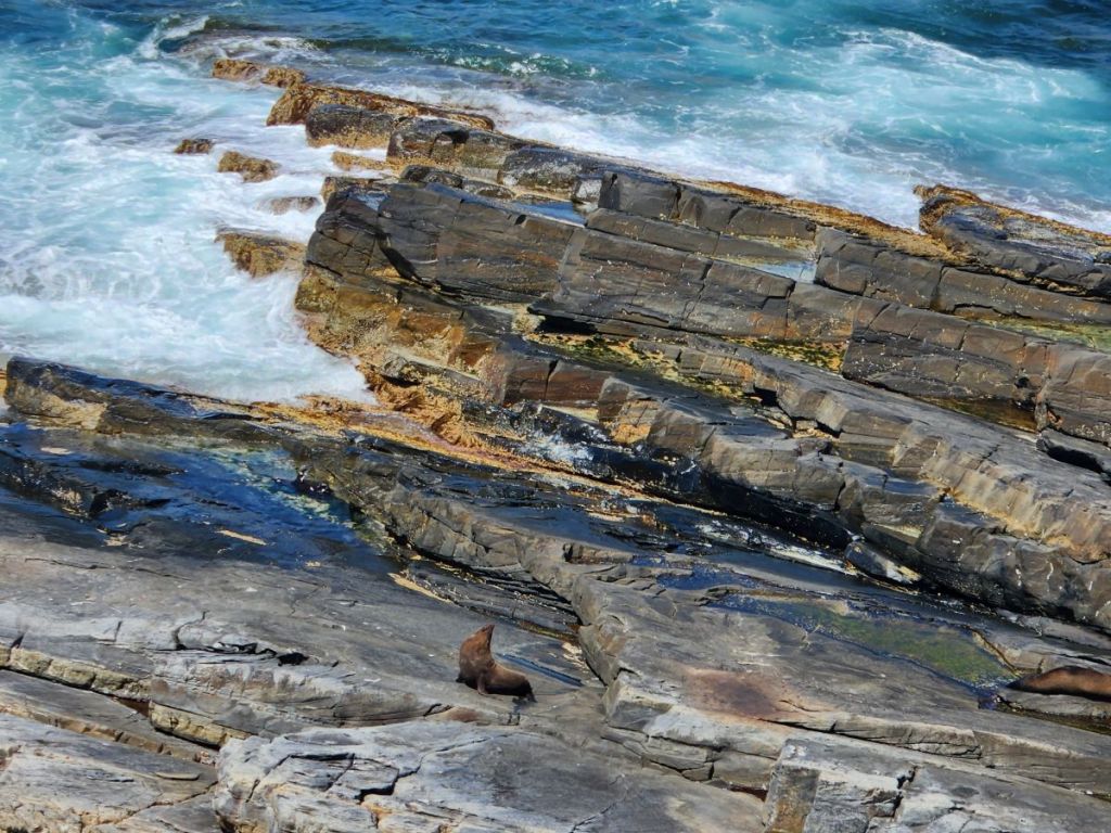
Sadly, we had taken a tad too long in our hiking and when we reached the Admiral’s Arch walk the tour bus had already arrived. Pooh. Oh well, we make the best of it – dodging meandering ship people and snapping pictures of the incredibly scenery and fur seals lounging along the rocks.
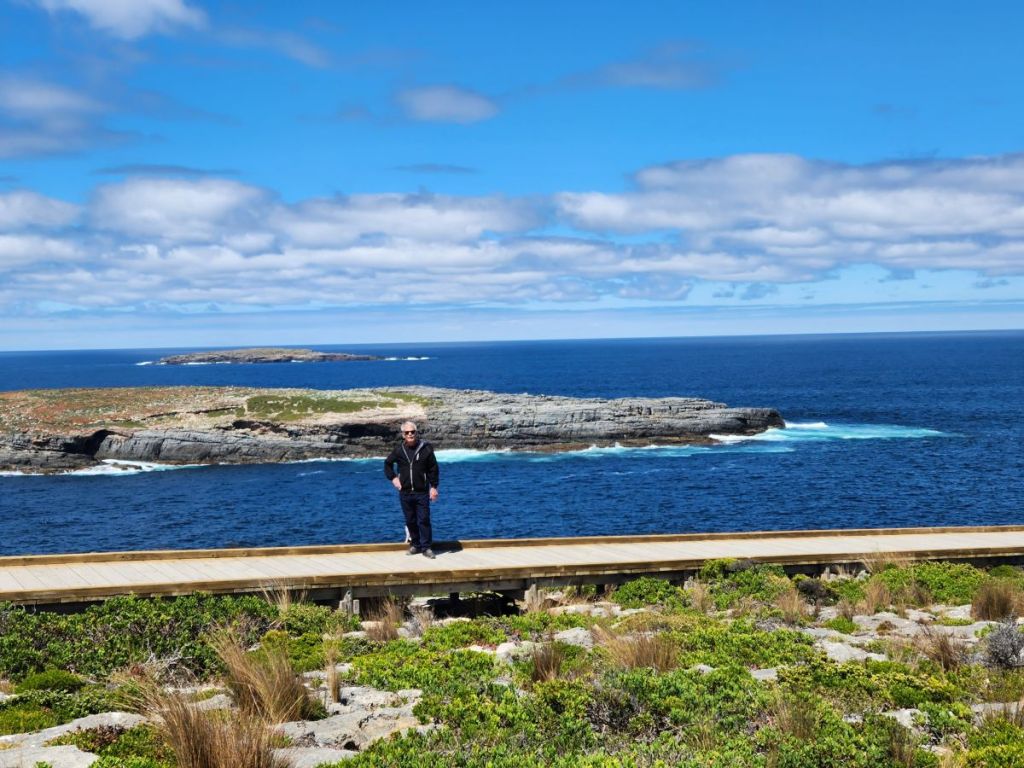
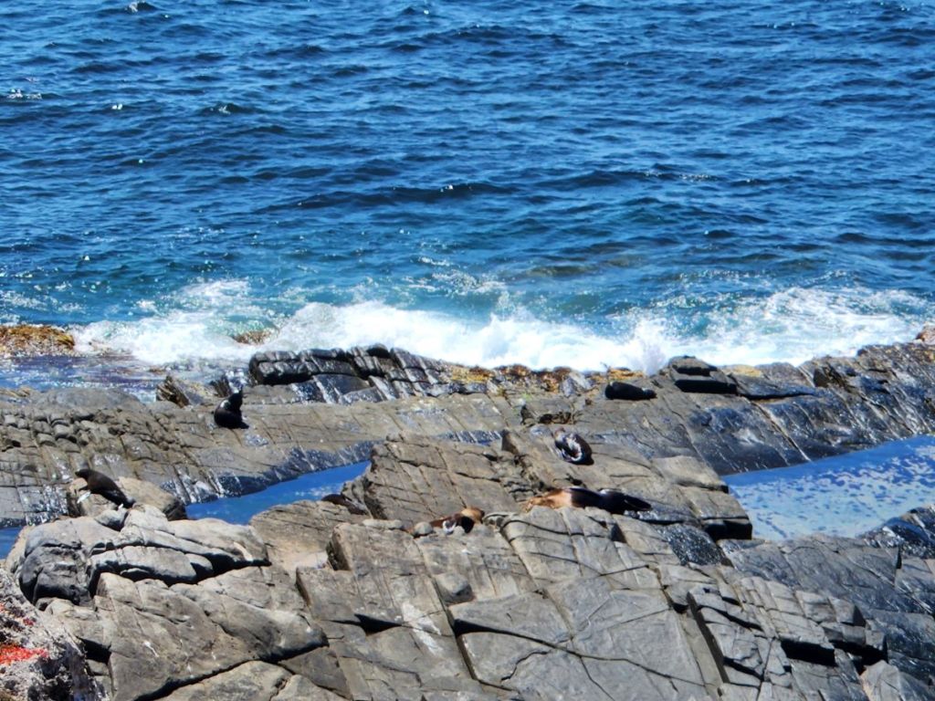
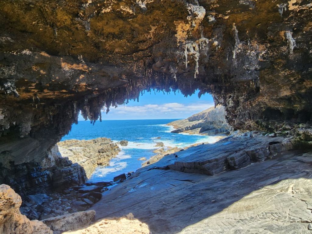
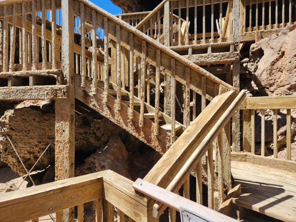
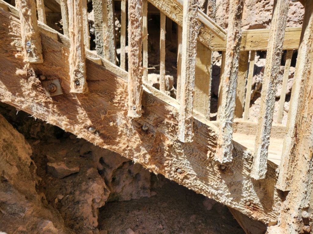
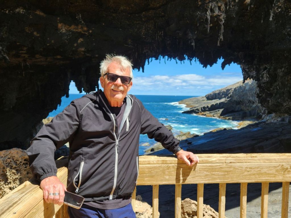
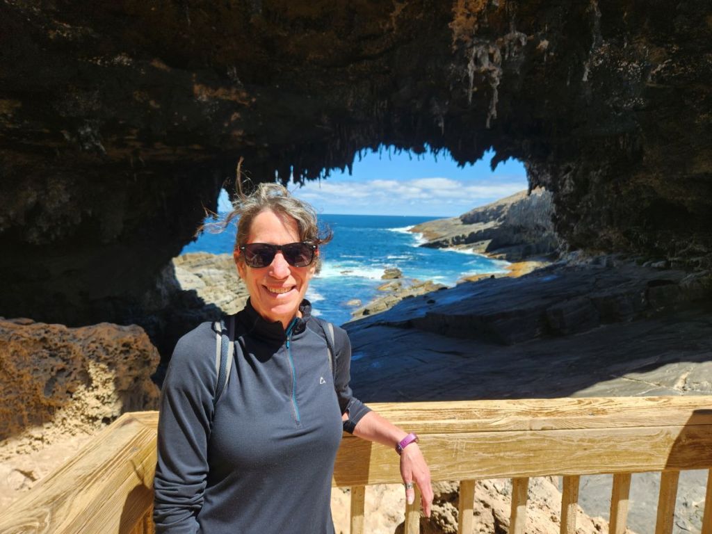
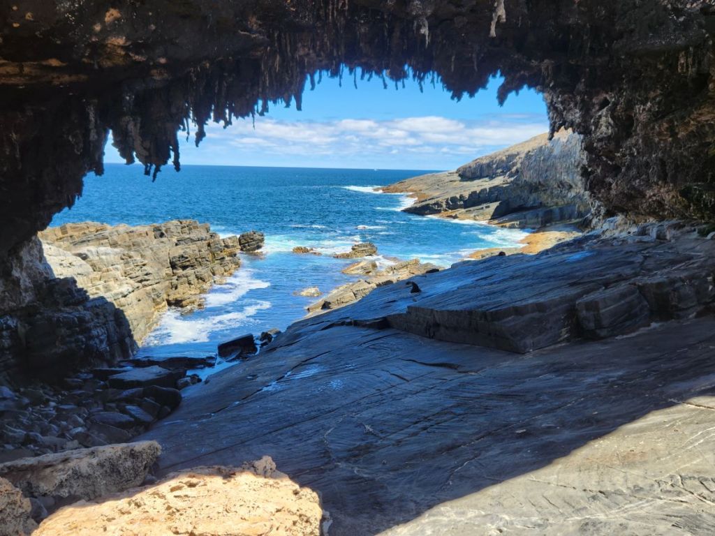
Admiral’s Arch is well worth the crowded boardwalk. Carved over thousands of years of waves and erosion, the arch forms a bridge which perfectly frames the ocean – and the fur seals hanging out on the rocks beneath it. You can see just how powerful the erosion is here by looking at the old, now roped off, wooden staircase that led to the arch viewing platform. The wood is just worn away in, almost in tatters. The force of nature, for sure!

Making our way out of the viewing area, we quickly return to our car, knowing we have one stop left: Weir Cove. And wanting to get there and away before the bus starts back out of the park – we definitely don’t want to be stuck behind it on our way out.
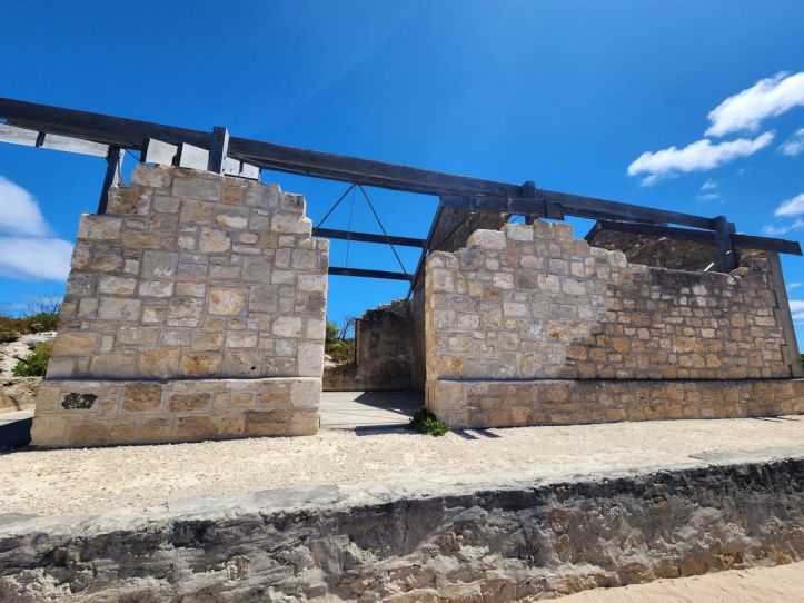
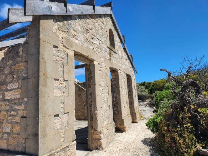
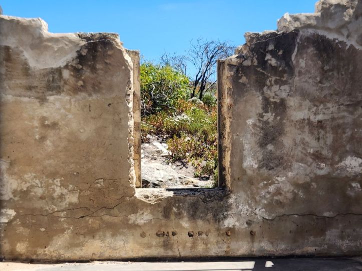
Down a narrow dirt road, alongside stunning views of the coast lies this abandoned house where the first settlers lived – those who built the lighthouse in 1907 and then the actual lighthouse keepers and their families. They were so isolated out here, they only got supplies every 3 months! What a life that must have been!
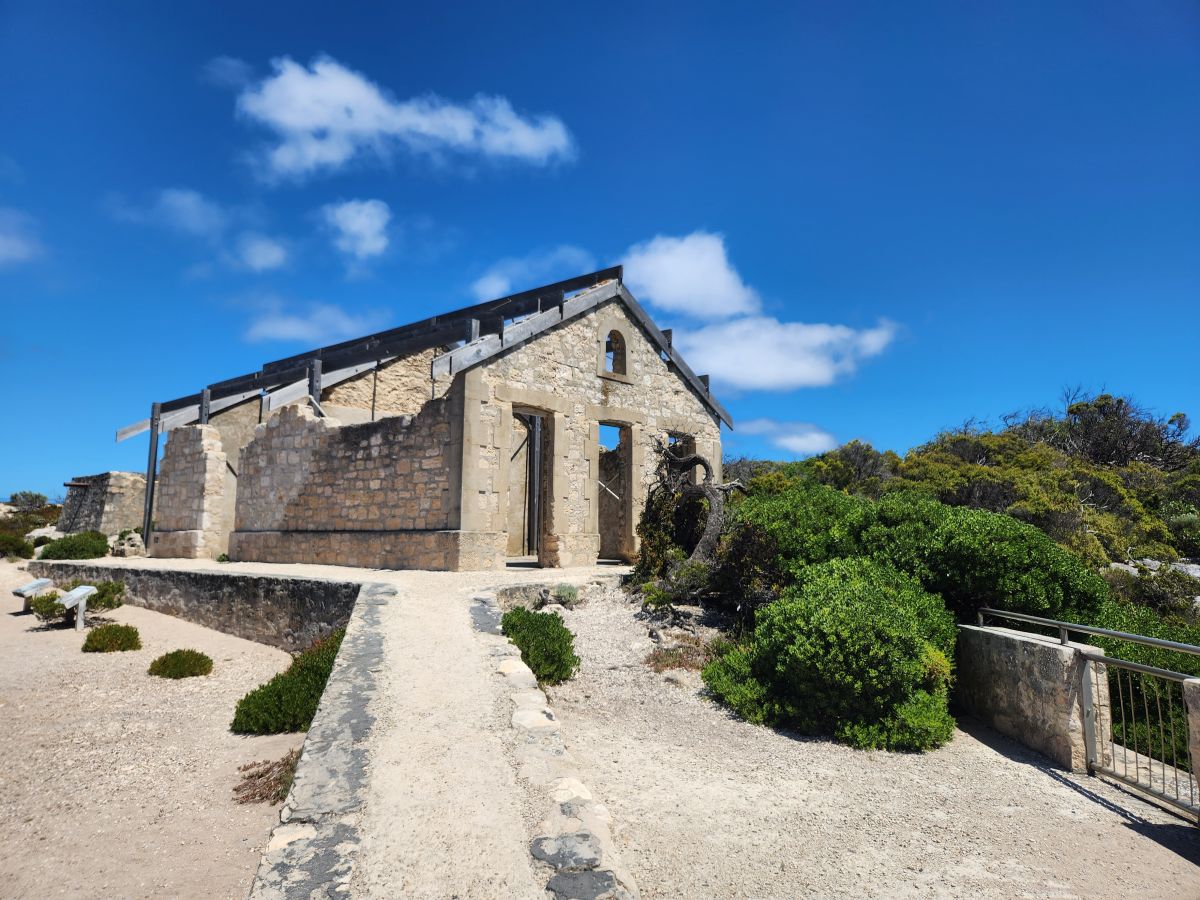
When they were building the lighthouse, all the supplies had to be hauled up a 90 meter cliff. They finally created what was called a “flying fox,” essentially a huge wench, that could haul the supplies up. Today, you can still see the cliff and the ravine where the flying fox was located. The first overland service didn’t begin until 1930 – 24 years later! And the first truck didn’t arrive until the mid-1940’s. Just looking at what is left standing of the house, on this high rocky cliffside, gives you a good sense of the isolation and what it must have been like to live out here.
Wow. Talk about scenic! Reversing course, we head out of the park, through the amazing hills and valleys and empty roads (fortunately, we have managed to avoid the bus – and all other traffic too!) then onto the southern road to complete our circut of hte island. Still stunning views, burnt out treetops and new undergrowth, narrow empty roads and yes, dead roos!

Originally, we had planned to go into Kingscote, the main town on the island, to explore and possibly have a snack and a beer and wine. But we decided against that since it takes so long to get back to the port area, and there were no facilities along the road, none. Not a store, a gas station (the rental agent said the only station was near the port!), a cafe, nothing. We figured better safe than sorry. Because of the lack of facilities, we never had an opportunity to have lunch – obviously. I mean, there’s only 1 gas station on the whole island! Needless to say…isolated! And we were not allowed to take any food off the ship – and they checked! Very strict about that, thank you, so no picnic lunch for us.
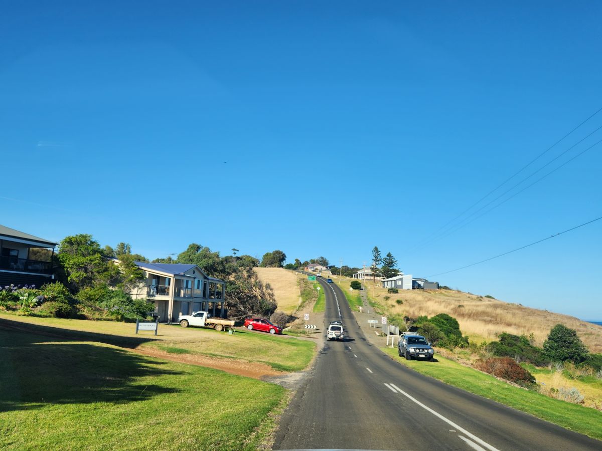
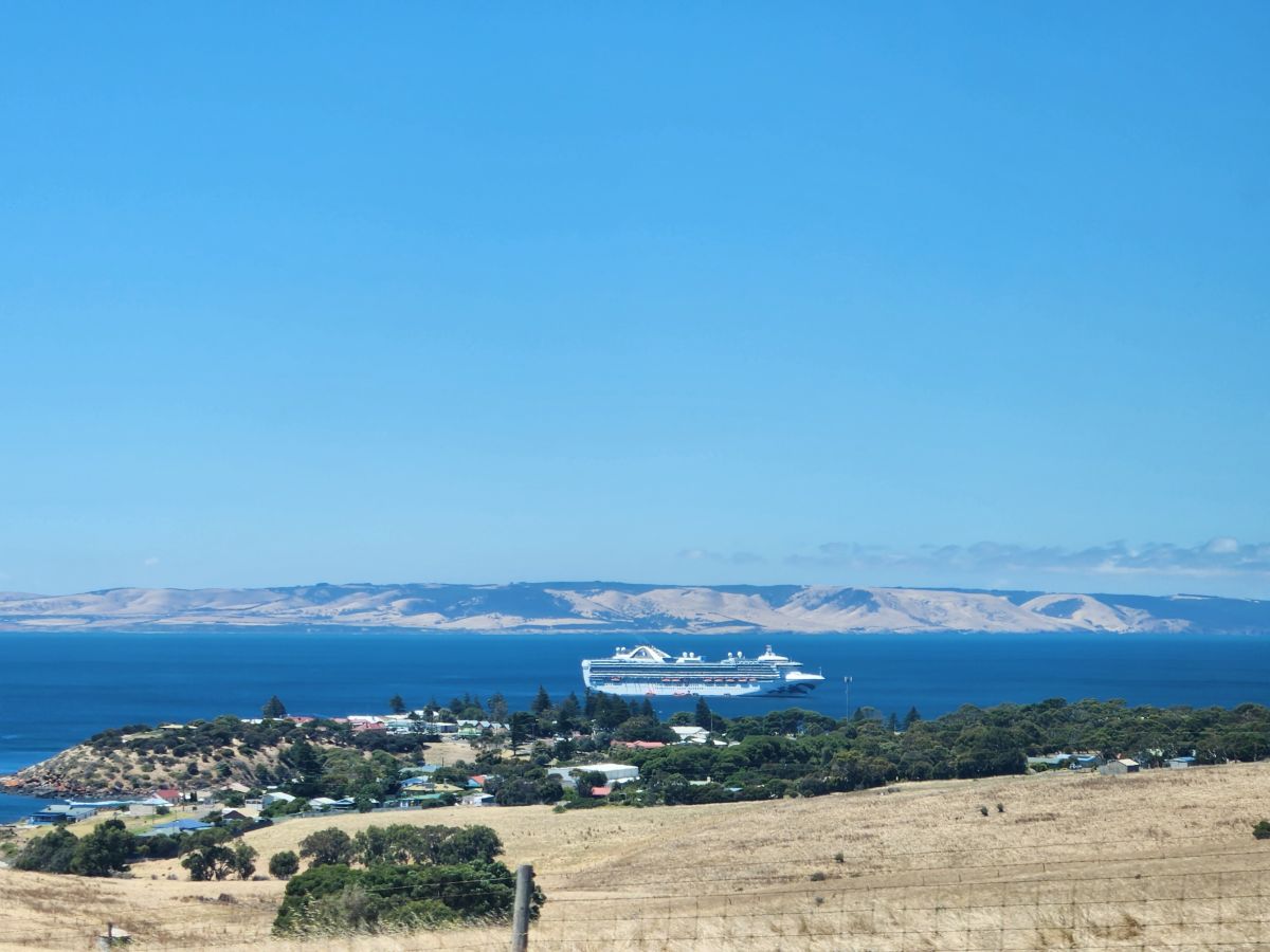
So, back to the ship we went, rounding the a hill with a commanding view of the bay and our ride….
…then finding our way to the one gas station, topping up and hopping on the water shuttle nee tender in a jiffy. Luckily, we made it back in time for the end of lunch, so we snacked on fruit and lighter items, then hit the cabin, the gym and the balcony for drinks and sailaway.
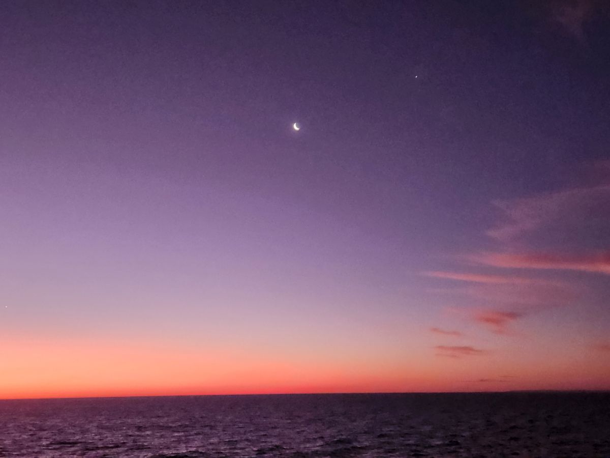
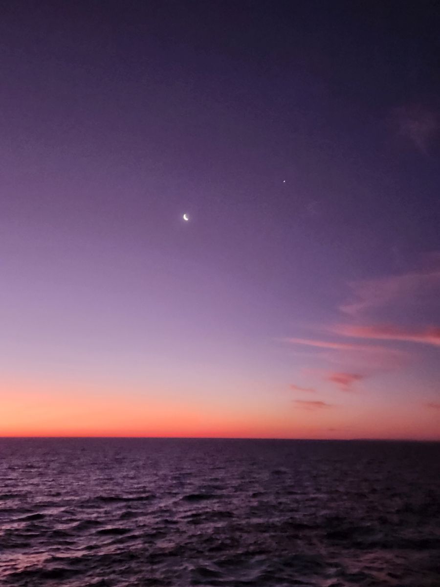
After a lovely dinner and show, we hit the balcony again for end of evening beverages, a beautiful night sky and a lovely end of our adventurous day. Tomorrow we rest – a whole day at sea!